This Location At A Glance
This junction is located in Stevenson WA.
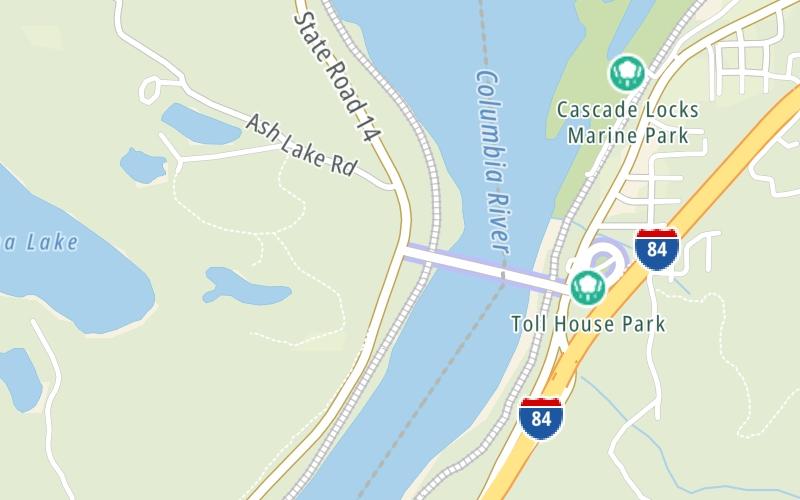
Map image © TomTom Intl BV
This location's approximate GPS Coordinates are 45.66305 x -121.90526.
Which directions can I travel from here?
From this junction, traffic can only enter going eastbound. Traffic can only exit going westbound.
This location also connects with Washington.
Nearby gas and food are shown on the interactive map below.
Weather & Visibility

Mostly Cloudy
58°F / 14.4°C
Feels Like
57°F / 13.9°C

Visibility
16 Mi / 25.7 Km
3 Hr Precip
0 In / 0.0 Cm

-
WSW Wind
5 Mi / 8 Km
Gusts
13.5 Mi / 21.7 Km
See the full forecast for This Location
Conditions and forecasts provided in partnership with AccuWeather.

Weather provided in partnership with AccuWeather.
Available Cameras

1.04 Mi
Advertising


