Interactive map shows available cameras, plus nearby fuel, food and lodging
See below for more about this area
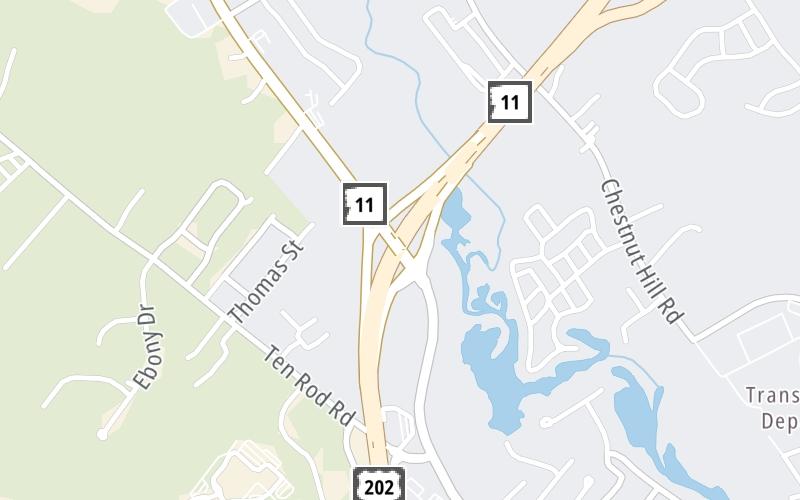
This is Exit 15 of the Spaulding Turnpike.
This junction is located in Rochester.
This location is in the Portsmouth - Dover area.
This location's approximate GPS Coordinates are 43.31875 x -70.99530.
Which directions can I travel from here?
From this junction, traffic can enter traveling both southbound and northbound. Traffic can also exit traveling both southbound and northbound.
On to US 202, about 0.7 miles away ►
◄ Back to Ten Rod Road, about 0.5 miles away.
This location also connects with Maine.
Which direction are tolls charged here?
Tolls are not charged or collected at this junction.
The interactive map and lists on this page include key traveler services within two miles of this destination point.
You will find common services, including gas stations, truck stops, EV charging facilities, fast-food or family restaurants, and hotels. These are displayed on the interactive map as markers, which you can select for more information.
Current driving conditions and weather, along with a more complete list of key services, may be found below the map.
Static map. Interactive map is above.
Clear
36°F / 2.5°C
Feels Like:
40°F / 4.3°C
Visibility
11 Mi / 17.7 Km
3-Hour Precip:
0 In / 0.0 Cm
West Northwest
Winds (WNW)
1.2 MPH / 1.9 KPH
Gusts:
2.8 MPH / 4.5 KPH
▸ Get the full forecast for This Location | The Portsmouth - Dover area
There is no currently-available traffic camera feed for this location.
There are no currently-available photos for this location.
The map above shows all services within about a two (2) mile radius.
Destination Travel
Closest Gas Stations

MOBIL
17 Farmington Road • 0.42 miles
Store/Fuel Brand: Mobil

BP
3 Ten Rod Road • 0.47 miles
Store/Fuel Brand: BP
CUMBERLAND FARMS
299 North Main Street • 0.54 miles
Store/Fuel Brand: Cumberland Farms
PETROIL FOOD MART & SMOKE SHOP
287 North Main Street • 0.59 miles
Store/Fuel Brand:
Closest EV Chargers
Closest Fast Food
Fast food refers ONLY to quick-service and take-out diners. All restaurant types are shown on the map above.

DOMINO'S
300 North Main Street • 0.41 miles

MCDONALD'S
291 North Main Street • 0.56 miles

TACO BELL
288 North Main Street • 0.59 miles

BURGER KING
250 North Main Street • 0.72 miles
CHARLIE'S OF ROCHESTER
224 North Main Street • 0.82 miles
THE POTTER'S HOUSE BAKERY & CAFé
10 Chestnut Hill Road • 0.86 miles

WENDY'S
198 Wakefield Street • 0.92 miles

MCDONALD'S
161 Wakefield Street • 0.96 miles
Journey to key destinations around and adjacent to New Hampshire!
Communities in this metro area include Hooksett, Concord, Manchester, and West Concord.
Individual toll maps for this region are listed below.
Communities in this metro area include Portsmouth, Dover, Durham, Rochester, Kittery, Maine, and York, Maine.
Individual toll maps for this region are listed below.