Interactive map shows available cameras, plus nearby fuel, food and lodging
See below for more about this area
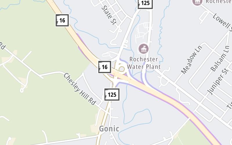
This is Exit 12 of the Spaulding Turnpike.
This junction is located in Rochester.
This location is in the Portsmouth - Dover area.
This location's approximate GPS Coordinates are 43.28242 x -70.97935.
Which directions can I travel from here?
From this junction, traffic can enter traveling both southbound and northbound. Traffic can also exit traveling both southbound and northbound.
On to US 202 / Washington Street, about 1.2 miles away ►
◄ Back to Old Dover Road, about 0.4 miles away.
This location also connects with Maine.
Which direction are tolls charged here?
Tolls are not charged or collected at this junction.
The interactive map and lists on this page include key traveler services within two miles of this destination point.
You will find common services, including gas stations, truck stops, EV charging facilities, fast-food or family restaurants, and hotels. These are displayed on the interactive map as markers, which you can select for more information.
Current driving conditions and weather, along with a more complete list of key services, may be found below the map.
Static map. Interactive map is above.Mostly Cloudy
72°F / 22.5°C
Feels Like:
77°F / 24.8°C
Visibility
11 Mi / 17.7 Km
3-Hour Precip:
0 In / 0.0 Cm
West Northwest
Winds (WNW)
2.4 MPH / 3.9 KPH
Gusts:
6.7 MPH / 10.9 KPH
▸ Get the full forecast for This Location | The Portsmouth - Dover area
The map above shows all services within about a two (2) mile radius.
Destination Travel
Closest Gas Stations
IRVING
717 Columbus Avenue • 0.39 miles
Store/Fuel Brand: Irving
SUNOCO
162 Charles Street • 0.70 miles
Store/Fuel Brand: Sunoco
ROCHESTER SHELL
130 Washington Street • 1.17 miles
Store/Fuel Brand: Shell
BP
129 South Main Street • 1.25 miles
Store/Fuel Brand: BP
Closest EV Chargers
Closest Fast Food
Fast food refers ONLY to quick-service and take-out diners. All restaurant types are shown on the map above.
YEH MAN FOODS
Wildcat Drive • 0.85 miles
VILLAGE PIZZA
49 Hancock Street • 0.86 miles
WILD WILLY'S BURGERS
724 Columbus Avenue • 1,870 feet
BUFFALO WILD WINGS
160 Washington Street • 1.05 miles
PALUMBO'S TAKE-OUT
Columbus Avenue • 1.13 miles
KFC
547 Columbus Avenue • 1.16 miles
DUNKIN'
111 South Main Street • 1.27 miles
MOE'S ITALIAN SANDWICHES
43 North Main Street • 1.54 miles
Journey to key destinations around and adjacent to New Hampshire!
Communities in this metro area include Hooksett, Concord, Manchester, and West Concord.
Individual toll maps for this region are listed below.
Communities in this metro area include Portsmouth, Dover, Durham, Rochester, Kittery, Maine, and York, Maine.
Individual toll maps for this region are listed below.