Share

Spaulding Turnpike At Dover Toll Plaza

Advertising
Advertising

This Location At A Glance

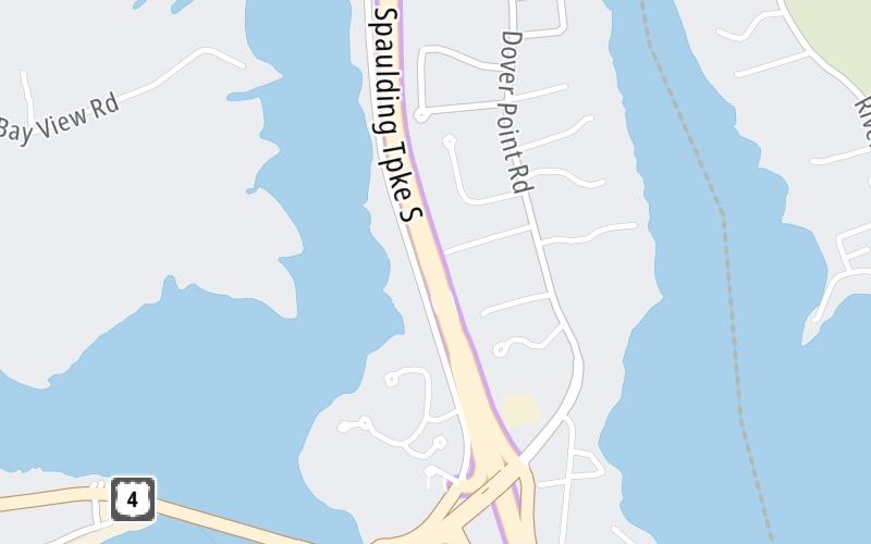
This toll point is located in Dover.

This location is in the Portsmouth - Dover area.

Dover Toll Plaza
Map image © TomTom Intl BV

This location's approximate GPS Coordinates are 43.13674 x -70.84131.

Interactive Map Below


On to NH 108 / Central Avenue, about 3.7 miles away ►

◄ Back to Dover Point Rd / Boston Harbor Rd / US 4, about 0.5 miles away.

Nearby gas and food are shown on the interactive map below.

View Map

Weather & Visibility

  • 00 7 02
  • Cloudy

    30°F / -1°C

    Feels Like

    30°F / -1.2°C

  • Visibility

    4 Mi / 6.4 Km

    3 Hr Precip

    0.03 In / 0.1 Cm

  • WNW Wind

    3.5 Mi / 5.6 Km

    Gusts

    12.8 Mi / 20.6 Km


Available Cameras

ST NN 4.1 CCTV AX T

Camera direction: UNKNOWN. undetermined 03820.
Source: MTA.

Camera direction: UNKNOWN. undetermined 03820.<br />Source: MTA -

1.31 Mi

Camera direction: UNKNOWN. undetermined 03820.<br />Source: MTA -

2.65 Mi

Advertising

Closest Food, Gas, EV And Other Services Near Dover Toll Plaza

The map shows traffic cameras and services in about a two-mile radius. Not all locations have cameras

Advertising

Discover New Hampshire Attractions

Hotels and destinations header

Hotels & Airports

Destination Travel

Advertising
Advertising

EXPLORE NEW HAMPSHIRE

Journey to key destinations around and adjacent to New Hampshire!

Map Of This Region ▹

Communities in this metro area include Hooksett, Concord, Manchester, and West Concord.

Individual toll maps for this region are listed below.

Map Of This Region ▹

Communities in this metro area include Portsmouth, Dover, Durham, Rochester, Kittery, Maine, and York, Maine.

Individual toll maps for this region are listed below.

Static map of Spaulding Turnpike at Dover Toll Plaza

Static map. Interactive map is above.

Advertising
Advertising
Turnpikes.com is proud to partner with the following: