Interactive map shows available cameras, plus nearby fuel, food and lodging
See below for more about this area
This junction is located in Portsmouth. NOTE: NB Off/NB On.
This location is in the Portsmouth - Dover area.
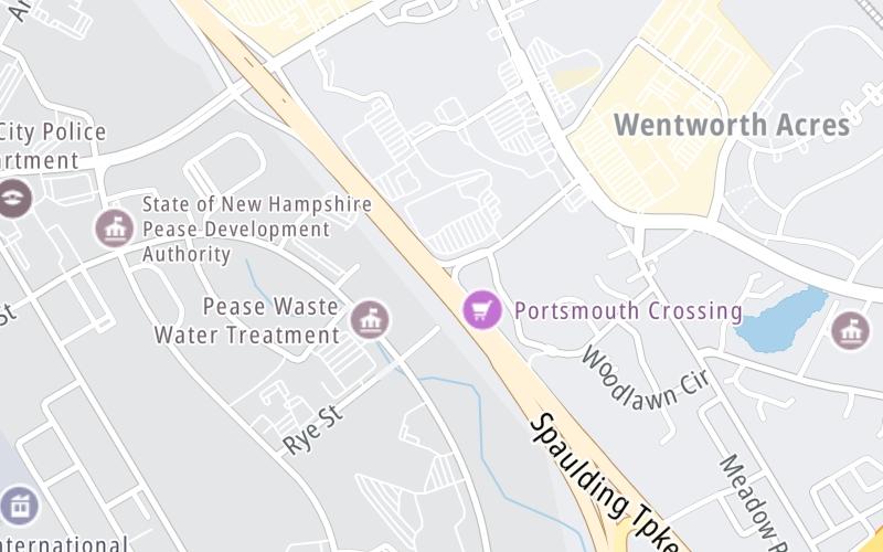
This location's approximate GPS Coordinates are 43.08494 x -70.79519.
Which directions can I travel from here?
From this junction, traffic can only enter going northbound. Traffic can only exit going northbound.
On to Gosling Road / Pease Blvd, about 0.6 miles away ►
◄ Back to I–95 / US 4 / US 1, about 1.1 miles away.
This location also connects with Maine.
Which direction are tolls charged here?
Tolls are not charged or collected at this junction.
The interactive map and lists on this page include key traveler services within two miles of this destination point.
You will find common services, including gas stations, truck stops, EV charging facilities, fast-food or family restaurants, and hotels. These are displayed on the interactive map as markers, which you can select for more information.
Current driving conditions and weather, along with a more complete list of key services, may be found below the map.
Static map. Interactive map is above.Cloudy
64°F / 17.8°C
Feels Like:
65°F / 18.4°C
Visibility
9 Mi / 14.5 Km
3-Hour Precip:
0 In / 0.0 Cm
East
Winds (E)
1.6 MPH / 2.6 KPH
Gusts:
4 MPH / 6.5 KPH
▸ Get the full forecast for This Location | The Portsmouth - Dover area
The map above shows all services within about a two (2) mile radius.
Destination Travel
Closest Gas Stations
BJ'S WHOLESALE CLUB
1801 Woodbury Avenue • 0.40 miles
Store/Fuel Brand: BJ's Wholesale Club
BP
1815 Woodbury Avenue • 0.49 miles
Store/Fuel Brand: BP
MOBIL
1980 Woodbury Avenue • 0.61 miles
Store/Fuel Brand: Mobil
SHELL
786 US Highway 1 Bypass • 1.15 miles
Store/Fuel Brand: Shell
Closest EV Chargers
Closest Fast Food
Fast food refers ONLY to quick-service and take-out diners. All restaurant types are shown on the map above.
PANERA BREAD
1465 Woodbury Avenue • 0.44 miles
MCDONALD'S
49 Gosling Road • 0.55 miles
DUNKIN'
1976 Woodbury Avenue • 0.58 miles
MOE'S ITALIAN SANDWICHES
1980 Woodbury Avenue • 0.61 miles
D'ANGELO GRILLED SANDWICHES
1955 Woodbury Avenue • 0.62 miles
NEW YORK PIZZA
1981 Woodbury Avenue • 0.66 miles
CHIPOTLE
45 Gosling Road • 0.69 miles
THE JUICERY
14 Manchester Square • 0.74 miles
Journey to key destinations around and adjacent to New Hampshire!
Communities in this metro area include Hooksett, Concord, Manchester, and West Concord.
Individual toll maps for this region are listed below.
Communities in this metro area include Portsmouth, Dover, Durham, Rochester, Kittery, Maine, and York, Maine.
Individual toll maps for this region are listed below.