Share

Blue Star Turnpike At Hampton Main Plaza

Advertising
Advertising

This Location At A Glance

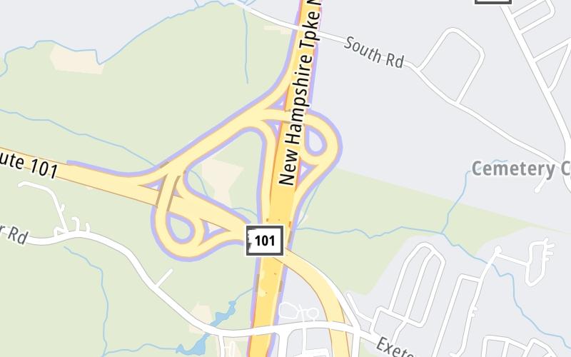
This toll point is located in Hampton.

This location is in the Portsmouth - Dover area.

Hampton Main Plaza
Map image © TomTom Intl BV

This location's approximate GPS Coordinates are 42.96266 x -70.85621.

Interactive Map Below


On to NH 33/Greenland Road, about 7.0 miles away ►

◄ Back to NH 101/Exeter-Hampton Expressway, about 0.4 miles away.

Nearby gas and food are shown on the interactive map below.

View Map

Weather & Visibility

  • 03 6 05
  • Cloudy

    53°F / 11.4°C

    Feels Like

    54°F / 12.1°C

  • Visibility

    3 Mi / 4.8 Km

    3 Hr Precip

    0.03 In / 0.1 Cm

  • SSE Wind

    2.3 Mi / 3.6 Km

    Gusts

    5.9 Mi / 9.5 Km


Available Cameras

101 W 90.8

Camera direction: UNKNOWN. undetermined 03842.
Source: MTA.

Camera direction: UNKNOWN. undetermined 03842.<br />Source: MTA -

0.38 Mi

Camera direction: UNKNOWN. undetermined 03842.<br />Source: MTA -

2.84 Mi

Advertising

Hampton Main Plaza on the Blue Star Turnpike

The map is interactive, and it also shows traffic cameras within about a two-mile radius. Not all locations have cameras.

Advertising

Discover New Hampshire Attractions

Hotels and destinations header

Hotels & Airports

Destination Travel

Advertising
Advertising

EXPLORE NEW HAMPSHIRE

Journey to key destinations around and adjacent to New Hampshire!

Map Of This Region ▹

Communities in this metro area include Hooksett, Concord, Manchester, and West Concord.

Individual toll maps for this region are listed below.

Map Of This Region ▹

Communities in this metro area include Portsmouth, Dover, Durham, Rochester, Kittery, Maine, and York, Maine.

Individual toll maps for this region are listed below.

Static map of Blue Star Turnpike at Hampton Main Plaza

Static map. Interactive map is above.

Advertising
Advertising
Turnpikes.com is proud to partner with the following: