This Location At A Glance
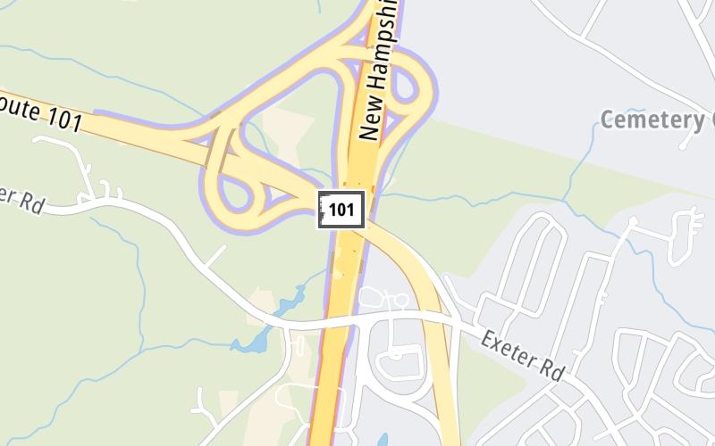
This is Exit 2 of the Blue Star Turnpike.
This junction is located in Hampton. NOTE: SB On/NB Off.
This location is in the Portsmouth - Dover area; it also overlaps with the Boston area.
This location's approximate GPS Coordinates are 42.95555 x -70.85771.
Which directions can I travel from here?
From this junction, traffic can only enter going southbound. Traffic can only exit going northbound.
On to NH 33/Greenland Road, about 7.4 miles away ►
◄ Back to New Hampshire Liquor & Wine, about 1.3 miles away.
This location also connects with Massachusetts.
Nearby gas and food are shown on the interactive map below.
Weather & Visibility

Cloudy
53°F / 11.4°C
Feels Like
54°F / 12.1°C

Visibility
3 Mi / 4.8 Km
3 Hr Precip
0.03 In / 0.1 Cm

-
SSE Wind
2.3 Mi / 3.6 Km
Gusts
5.9 Mi / 9.5 Km
See the full forecast for This Location or the Portsmouth - Dover area
Conditions and forecasts provided in partnership with AccuWeather.

Weather provided in partnership with AccuWeather.
Available Cameras

0.54 Mi
2.46 Mi


 Everett Turnpike ▹
 Blue Star Turnpike ▹
 Spaulding Turnpike ▹
 Maine Turnpike ▹


