This Location At A Glance
NOTICE! Data for this plaza/rest stop is being updated.
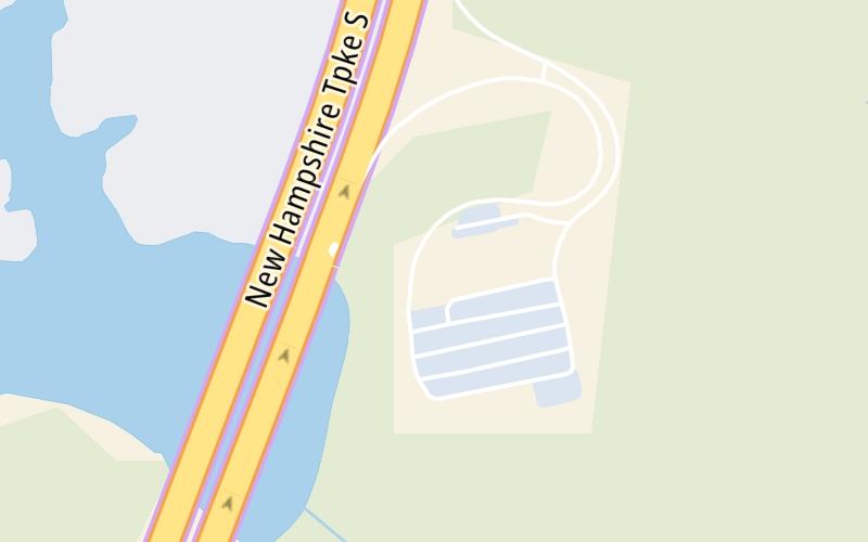
This travel plaza is located in Hampton. NOTE: Serves NB.
This location is in the Portsmouth - Dover area; it also overlaps with the Boston area.
Map image © TomTom Intl BV
This location's approximate GPS Coordinates are 42.93363 x -70.86142.
On to New Hampshire Liquor & Wine, about 0.2 miles away ►
◄ Back to NH 107, about 2.8 miles away.
Nearby gas and food are shown on the interactive map below.
Weather & Visibility

Cloudy
51°F / 10.8°C
Feels Like
55°F / 12.9°C

Visibility
3 Mi / 4.8 Km
3 Hr Precip
0.01 In / 0.0 Cm

-
NNE Wind
1.8 Mi / 2.9 Km
Gusts
4.6 Mi / 7.5 Km
See the full forecast for This Location or the Portsmouth - Dover area
Conditions and forecasts provided in partnership with AccuWeather.

Weather provided in partnership with AccuWeather.
Available Cameras

1.67 Mi
1.97 Mi
2.83 Mi
Advertising


 Everett Turnpike ▹
 Blue Star Turnpike ▹
 Spaulding Turnpike ▹
 Maine Turnpike ▹


