Interactive map shows available cameras, plus nearby fuel, food and lodging
See below for more about this area
This travel plaza is located in Seabrook. NOTE: Northbound.
This location is in the Portsmouth - Dover area; it also overlaps with the Boston area.
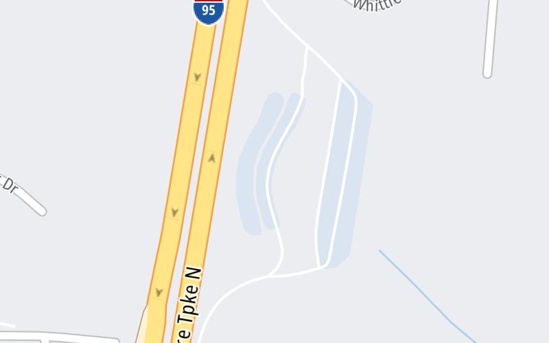
This location's approximate GPS Coordinates are 42.88463 x -70.88093.
On to NH 107, about 0.7 miles away ►
◄ Back to Massachusetts / I–95, about 0.3 miles away.
The interactive map and lists on this page include key traveler services within two miles of this destination point.
You will find common services, including gas stations, truck stops, EV charging facilities, fast-food or family restaurants, and hotels. These are displayed on the interactive map as markers, which you can select for more information.
Current driving conditions and weather, along with a more complete list of key services, may be found below the map.
Static map. Interactive map is above.Mostly Cloudy
64°F / 17.8°C
Feels Like:
65°F / 18.3°C
Visibility
5 Mi / 8 Km
3-Hour Precip:
0 In / 0.0 Cm
East
Winds (E)
2.2 MPH / 3.5 KPH
Gusts:
4 MPH / 6.5 KPH
▸ Get the full forecast for This Location | The Portsmouth - Dover area
The map above shows all services within about a two (2) mile radius.
Destination Travel
Closest Gas Stations
RICHDALE CONVENIENCE STORE
472 Lafayette Road • 0.56 miles
Store/Fuel Brand:
IRVING
361 Lafayette Road • 0.57 miles
Store/Fuel Brand: Irving
SUNOCO
265 Lafayette Road • 0.69 miles
Store/Fuel Brand: Sunoco
CITGO
8 Batchelder Road • 0.85 miles
Store/Fuel Brand: Citgo
Closest EV Chargers
Closest Fast Food
Fast food refers ONLY to quick-service and take-out diners. All restaurant types are shown on the map above.
DUNKIN'
443 Lafayette Road • 0.51 miles
FIVE GUYS
380 Lafayette Road • 0.56 miles
BURGER KING
549 Lafayette Road • 0.61 miles
KFC
306 Lafayette Road • 0.66 miles
TACO BELL
306 Lafayette Road • 0.66 miles
WENDY'S
570 Lafayette Road • 0.67 miles
WENDY'S
264 Lafayette Road • 0.73 miles
JASMINE'S FAMOUS ROAST BEEF & SEAFOOD
178 Lafayette Road • 0.75 miles
Journey to key destinations around and adjacent to New Hampshire!
Communities in this metro area include Hooksett, Concord, Manchester, and West Concord.
Individual toll maps for this region are listed below.
Communities in this metro area include Portsmouth, Dover, Durham, Rochester, Kittery, Maine, and York, Maine.
Individual toll maps for this region are listed below.