This Location At A Glance
This junction is located in Seabrook. Salisbury, MA is nearby.
This location is in the Portsmouth - Dover area; it also overlaps with the Boston area.
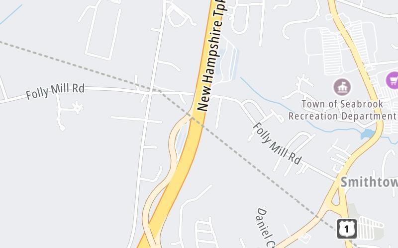
This location's approximate GPS Coordinates are 42.88076 x -70.88286.
Which directions can I travel from here?
From this junction, traffic can only enter going northbound. Traffic can only exit going southbound.
On to New Hampshire Welcome Center, about 0.3 miles away ►
This location also connects with Massachusetts.
▹ The Blue Star Turnpike and the I 95 connect here.
Nearby gas and food are shown on the interactive map below.
Weather & Visibility

Cloudy
52°F / 10.9°C
Feels Like
53°F / 11.6°C

Visibility
5 Mi / 8 Km
3 Hr Precip
0.02 In / 0.1 Cm

-
SSE Wind
2.2 Mi / 3.6 Km
Gusts
5.8 Mi / 9.4 Km
See the full forecast for This Location or the Portsmouth - Dover area
Conditions and forecasts provided in partnership with AccuWeather.

Weather provided in partnership with AccuWeather.
Available Cameras

1.02 Mi


 Everett Turnpike ▹
 Blue Star Turnpike ▹
 Spaulding Turnpike ▹
 Maine Turnpike ▹


