This Location At A Glance
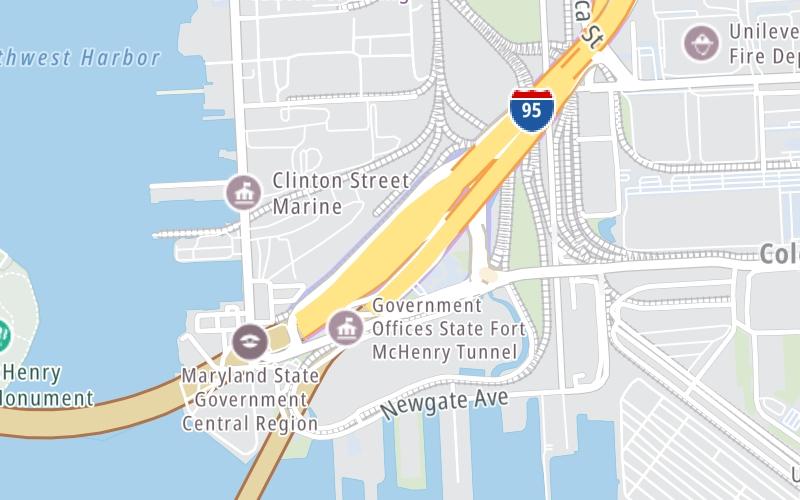
This toll point is located in Baltimore.
This location is in the Baltimore area.
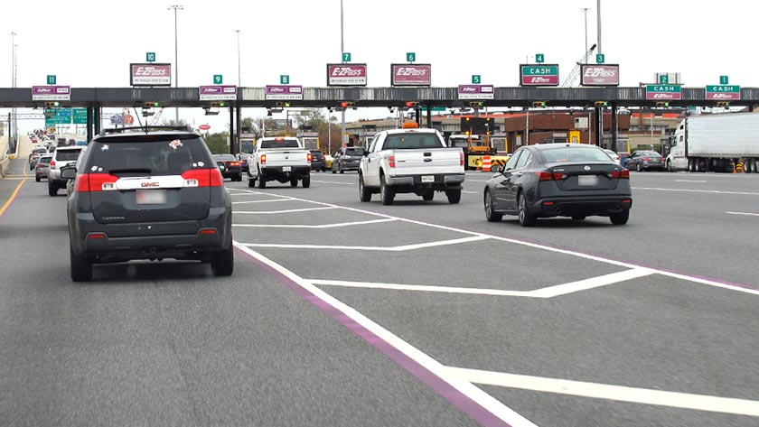
Photo by Turnpikes.com
This location's approximate GPS Coordinates are 39.26629 x -76.56208.
On to Keith Avenue, about 0.1 miles away ►
◄ Back to Key Highway (McComas St), about 2.0 miles away.
Nearby gas and food are shown on the interactive map below.
Weather & Visibility

Mostly Sunny
77°F / 25°C
Feels Like
78°F / 25.3°C

Visibility
21 Mi / 33.8 Km
3 Hr Precip
0 In / 0.0 Cm

-
S Wind
5.6 Mi / 9 Km
Gusts
11.1 Mi / 17.8 Km
See the full forecast for the Baltimore area
Conditions and forecasts provided in partnership with AccuWeather.

Weather provided in partnership with AccuWeather.
Available Cameras

0.33 Mi
1.09 Mi
1.48 Mi
1.51 Mi
1.53 Mi
Advertising

 Wm Preston Lane Jr Memorial Bridge ▹
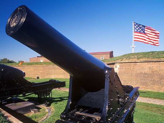
 Fort McHenry Tunnel ▹
 Francis Scott Key Bridge ▹
 Baltimore Harbor Tunnel ▹
 Intercounty Connector MD 200 ▹
 Thomas J Hatem Memorial Bridge ▹
 Dulles Greenway ▹
 Delaware Memorial Bridge ▹
 Delaware Turnpike ▹
 State Route 1 ▹