This Location At A Glance
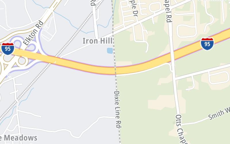
This junction is located in Elkton. NOTE: Delaware Turnpike.
This location is in the Baltimore area; it also overlaps with the Wilmington - Newark area.
This location's approximate GPS Coordinates are 39.63873 x -75.78777.
Which directions can I travel from here?
From this junction, traffic can enter traveling both southbound and northbound. Traffic can also exit traveling both southbound and northbound.
◄ Back to MD 279 / Elkton Road, about 0.7 miles away.
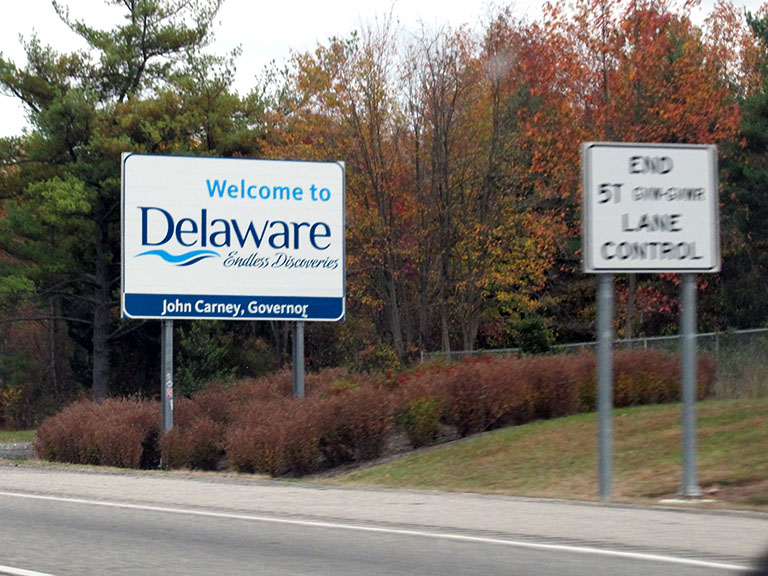
This location also connects with Delaware.
▹ The John F Kennedy Memorial Highway and the Delaware Turnpike connect here.
Nearby gas and food are shown on the interactive map below.
Weather & Visibility

Mostly Cloudy
70°F / 20.9°C
Feels Like
67°F / 19.3°C

Visibility
4 Mi / 6.4 Km
3 Hr Precip
0.04 In / 0.1 Cm

-
SW Wind
3.3 Mi / 5.3 Km
Gusts
7 Mi / 11.2 Km
See the full forecast for This Location or the Baltimore area
Conditions and forecasts provided in partnership with AccuWeather.

Weather provided in partnership with AccuWeather.
Available Cameras
No camera feed …
There is no currently-available traffic camera feed for this location.

 Wm Preston Lane Jr Memorial Bridge ▹
 Fort McHenry Tunnel ▹
 Francis Scott Key Bridge ▹
 Baltimore Harbor Tunnel ▹
 Intercounty Connector MD 200 ▹
 Thomas J Hatem Memorial Bridge ▹
 Dulles Greenway ▹
 Delaware Memorial Bridge ▹
 Delaware Turnpike ▹
 State Route 1 ▹