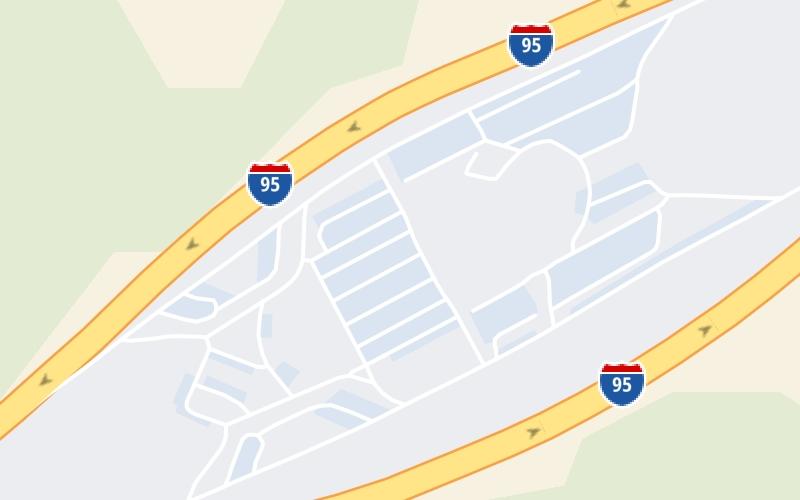
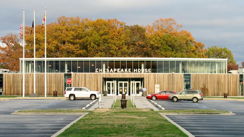
This Location At A Glance
This travel plaza is located in North East. Port Deposit is nearby.
This location is in the Baltimore area; it also overlaps with the Wilmington - Newark area.
This location's approximate GPS Coordinates are 39.61179 x -76.00937.
On to MD 272 / North East Road, about 2.7 miles away ►
◄ Back to MD 222, about 3.8 miles away.
Nearby gas and food are shown on the interactive map below.
Weather & Visibility

Partly Sunny
77°F / 25.2°C
Feels Like
74°F / 23.1°C

Visibility
32 Mi / 51.5 Km
3 Hr Precip
0 In / 0.0 Cm

-
SSW Wind
7.7 Mi / 12.4 Km
Gusts
15 Mi / 24.2 Km
See the full forecast for This Location or the Baltimore area
Conditions and forecasts provided in partnership with AccuWeather.

Weather provided in partnership with AccuWeather.
Available Cameras
No camera feed …
There is no currently-available traffic camera feed for this location.

 Wm Preston Lane Jr Memorial Bridge ▹
 Fort McHenry Tunnel ▹
 Francis Scott Key Bridge ▹
 Baltimore Harbor Tunnel ▹
 Intercounty Connector MD 200 ▹
 Thomas J Hatem Memorial Bridge ▹
 Dulles Greenway ▹
 Delaware Memorial Bridge ▹
 Delaware Turnpike ▹
 State Route 1 ▹