This Location At A Glance
NOTICE! Data for this plaza/rest stop is being updated.
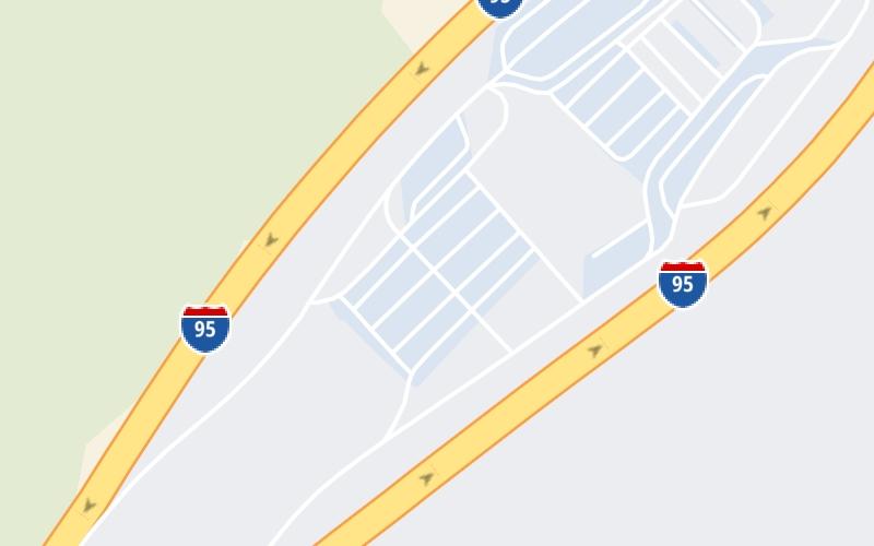
This travel plaza is located in North East.
This location is in the Baltimore area.
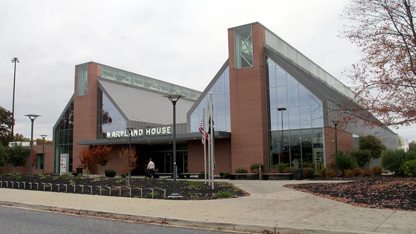
Photo by Turnpikes.com
This location's approximate GPS Coordinates are 39.49664 x -76.23319.
On to MD 22 / Aberdeen Thruway, about 2.6 miles away ►
◄ Back to MD 543 / Riverside Parkway, about 1.9 miles away.
Nearby gas and food are shown on the interactive map below.
Weather & Visibility

Mostly Cloudy
72°F / 22.3°C
Feels Like
69°F / 20.6°C

Visibility
23 Mi / 37 Km
3 Hr Precip
0.02 In / 0.0 Cm

-
SSW Wind
3.9 Mi / 6.3 Km
Gusts
9 Mi / 14.5 Km
See the full forecast for This Location or the Baltimore area
Conditions and forecasts provided in partnership with AccuWeather.

Weather provided in partnership with AccuWeather.
Available Cameras

1.09 Mi
1.52 Mi
2.09 Mi
3.19 Mi
Advertising

 Wm Preston Lane Jr Memorial Bridge ▹
 Fort McHenry Tunnel ▹
 Francis Scott Key Bridge ▹
 Baltimore Harbor Tunnel ▹
 Intercounty Connector MD 200 ▹
 Thomas J Hatem Memorial Bridge ▹
 Dulles Greenway ▹
 Delaware Memorial Bridge ▹
 Delaware Turnpike ▹
 State Route 1 ▹