Maine Turnpike At West Gardiner Service Plaza

Advertising
Advertising

Map & services within two (2) miles

Interactive map shows available cameras, plus nearby fuel, food and lodging

See below for more about this area

Advertising
Advertising

About This Location

West Gardiner Service Plaza
Map image © TomTom Intl BV

At A Glance

NOTICE! Data for this plaza/rest stop is being updated.

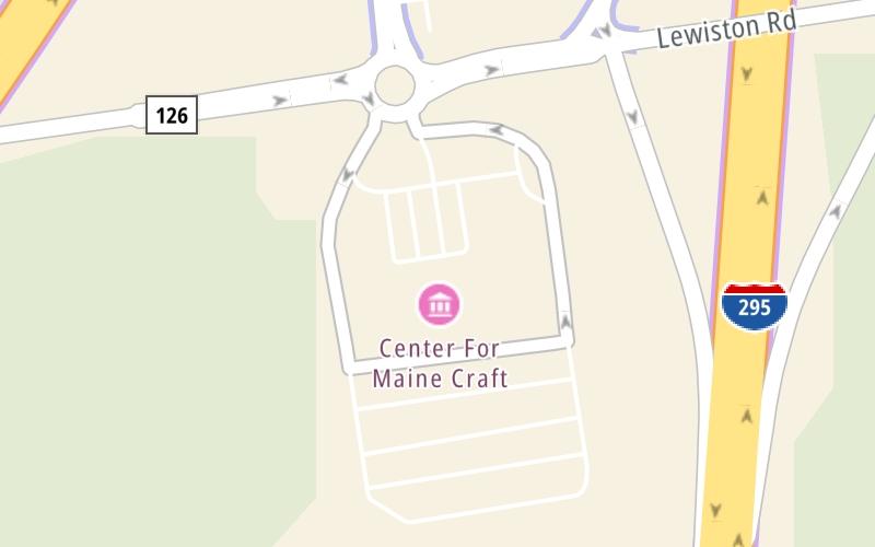
This travel plaza is located in West Gardiner. Litchfield is nearby.

This location is in the Augusta area.

Interactive Map Above

This location's approximate GPS Coordinates are 44.20760 x -69.82783.

On to I–295, about 2.0 miles away ►

◄ Back to I–295 SB / ME 9 / ME 126, about 0.0 miles away.

View Map Travel Conditions


Using The POI Map

The interactive map and lists on this page include key traveler services within two miles of this destination point.

You will find common services, including gas stations, truck stops, EV charging facilities, fast-food or family restaurants, and hotels. These are displayed on the interactive map as markers, which you can select for more information.

Current driving conditions and weather, along with a more complete list of key services, may be found below the map.

View Map Weather

Static map of Maine Turnpike at West Gardiner Service Plaza
Static map. Interactive map is above.
Advertising
Advertising

Travel Conditions At West Gardiner Service Plaza

Current Weather And Visibility

  • 19 6 08
  • Cloudy

    73°F / 23°C

    Feels Like:

    77°F / 25.2°C

  • Visibility

    11 Mi / 17.7 Km

    3-Hour Precip:

    0 In / 0.0 Cm

  • South
    Winds (S)

    4 MPH / 6.5 KPH

    Gusts:

    7.9 MPH / 12.8 KPH

▸ Get the full forecast for This Location | The Augusta area

Available Cameras

No camera feed …

There is no currently-available traffic camera feed for this location.

Advertising
Advertising

Travel Pictures

No photos …

There are no currently-available photos for this location.

Advertising
Advertising

Closest Food, Gas, EV And Other Services Near West Gardiner Service Plaza

The map above shows all services within about a two (2) mile radius.

Hotels and destinations header

Hotels & Airports

Destination Travel

Fuel, EV and convenience store header

Gas & EV Charging

Closest Gas Stations

Citgo

BIG APPLE

24 Service Plaza Drive • 80 feet

Store/Fuel Brand: Citgo

View Map

Closest EV Chargers

ChargePoint

CHARGEPOINT

102 Maine Turnpike • 206 feet

View Map

Coffee, snacks and dining header

Fast Food & Beverage

Closest Fast Food

Fast food refers ONLY to quick-service and take-out diners. All restaurant types are shown on the map above.

Dunkin'

DUNKIN'

288 Lewiston Road • 78 feet

BURGER KING

BURGER KING

Service Plaza Drive • 94 feet

Popeyes

POPEYES

288 Lewiston Road • 100 feet

View Map

Discover Maine Attractions

Advertising
Advertising

EXPLORE MAINE

Journey to key destinations around and adjacent to Maine!

Map Of This Region ▹

Communities in this metro area include Portland, Scarborough, and Biddeford.

Individual toll maps for this region are listed below.

Map Of This Region ▹

Communities in this metro area include Augusta, Gardiner, Farmingdale, and Manchester.

Individual toll maps for this region are listed below.

Map Of This Region ▹

Communities in this metro area include Portsmouth, Dover, Durham, Rochester, Kittery, Maine, and York, Maine.

Individual toll maps for this region are listed below.

Advertising
Advertising
Turnpikes.com is proud to partner with the following: