This Location At A Glance
This toll point is located in West Gardiner.
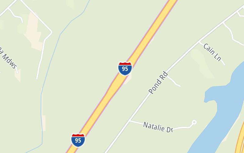
This location is in the Augusta area.
Map image © TomTom Intl BV
This location's approximate GPS Coordinates are 44.19037 x -69.84969.
On to I-295 SB / ME 9 / ME 126, about 1.3 miles away ►
◄ Back to ME 9/Middle Road, about 13.8 miles away.
Nearby gas and food are shown on the interactive map below.
Weather & Visibility

Cloudy
44°F / 6.5°C
Feels Like
46°F / 8°C

Visibility
7 Mi / 11.3 Km
3 Hr Precip
0.05 In / 0.1 Cm

-
E Wind
3 Mi / 4.8 Km
Gusts
9.2 Mi / 14.8 Km
See the full forecast for the Augusta area
Conditions and forecasts provided in partnership with AccuWeather.

Weather provided in partnership with AccuWeather.
Available Cameras

1.03 Mi
1.30 Mi
2.01 Mi
Advertising


 Maine Turnpike ▹

 Blue Star Turnpike ▹
 Spaulding Turnpike ▹


