Interactive map shows available cameras, plus nearby fuel, food and lodging
See below for more about this area
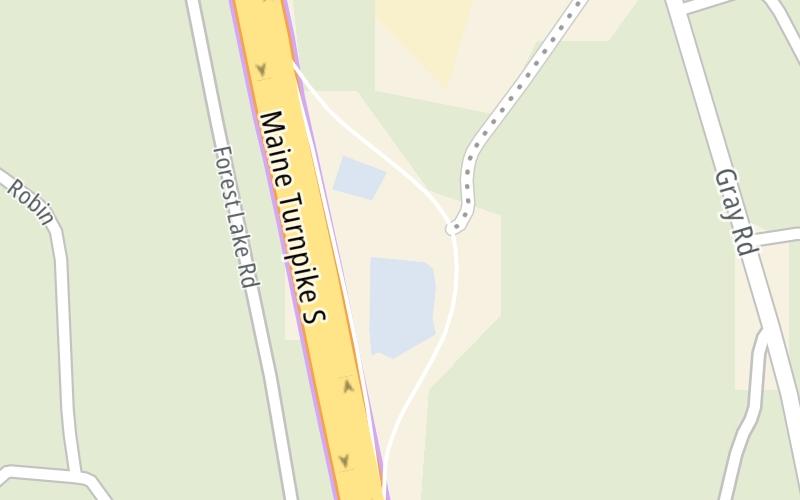
This travel plaza is located in Gray.
This location is in the Portland area.
This location's approximate GPS Coordinates are 43.82445 x -70.31995.
On to US 202 / ME 115 / ME 4 / ME 26, about 4.3 miles away ►
◄ Back to Cumberland Service Plaza, about 0.4 miles away.
Above: Map image © TomTom Intl BVThe interactive map and lists on this page include key traveler services within two miles of this destination point.
You will find common services, including gas stations, truck stops, EV charging facilities, fast-food or family restaurants, and hotels. These are displayed on the interactive map as markers, which you can select for more information.
Current driving conditions and weather, along with a more complete list of key services, may be found below the map.
Static map. Interactive map is above.Sunny
58°F / 14.6°C
Feels Like:
62°F / 16.7°C
Visibility
12 Mi / 19.3 Km
3-Hour Precip:
0 In / 0.0 Cm
Northwest
Winds (NW)
2.4 MPH / 3.9 KPH
Gusts:
7.4 MPH / 11.9 KPH
▸ Get the full forecast for This Location | The Portland area
There is no currently-available traffic camera feed for this location.
There are no currently-available photos for this location.
The map above shows all services within about a two (2) mile radius.
Destination Travel
Closest Gas Stations
CUMBERLAND SERVICE PLAZA
• 0.47 miles
Store/Fuel Brand: Citgo
BUDDS GULF
159 Gray Road • 0.89 miles
Store/Fuel Brand: Gulf
GRAY SERVICE PLAZA
Mile 57 Service Road • 47 feet
Store/Fuel Brand: Citgo
GRAY SERVICE PLAZA MOBIL GAS STATION
Mile 57 Service Road • 261 feet
Store/Fuel Brand:
Closest EV Chargers
No EV charging stations nearby.
Closest Fast Food
Fast food refers ONLY to quick-service and take-out diners. All restaurant types are shown on the map above.
BURGER KING
56 Maine Turnpike Mm • 0.48 miles
BURGER KING
Mile 57 Service Road • 39 feet
Journey to key destinations around and adjacent to Maine!
Communities in this metro area include Portland, Scarborough, and Biddeford.
Individual toll maps for this region are listed below.
Communities in this metro area include Augusta, Gardiner, Farmingdale, and Manchester.
Individual toll maps for this region are listed below.
Communities in this metro area include Portsmouth, Dover, Durham, Rochester, Kittery, Maine, and York, Maine.
Individual toll maps for this region are listed below.