This Location At A Glance
This is Exit 46 of the Maine Turnpike.
This junction is located in South Portland.
This location is in the Portland area.
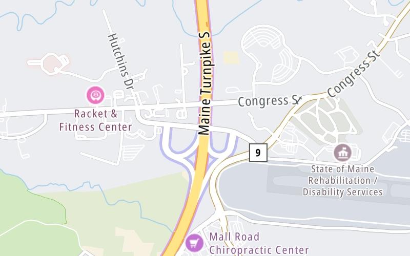
This location's approximate GPS Coordinates are 43.64951 x -70.33121.
Which directions can I travel from here?
From this junction, traffic can enter traveling both southbound and northbound. Traffic can also exit traveling both southbound and northbound.
On to Rand Road / Westbrook Arterial / ME 25, about 1.2 miles away ►
◄ Back to Maine Mall Road / Payne Road, about 1.4 miles away.
Nearby gas and food are shown on the interactive map below.
Weather & Visibility

Cloudy
36°F / 2°C
Feels Like
37°F / 2.9°C

Visibility
11 Mi / 17.7 Km
3 Hr Precip
0 In / 0.0 Cm

-
NE Wind
4.6 Mi / 7.4 Km
Gusts
8.4 Mi / 13.5 Km
See the full forecast for This Location or the Portland area
Conditions and forecasts provided in partnership with AccuWeather.

Weather provided in partnership with AccuWeather.
Available Cameras

2.36 Mi


 Maine Turnpike ▹

 Blue Star Turnpike ▹
 Spaulding Turnpike ▹


