This Location At A Glance
This toll point is located in York.
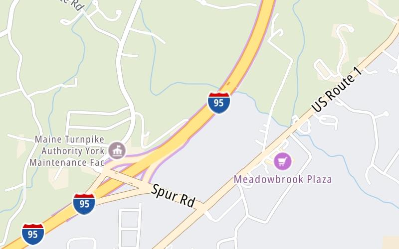
Map image © TomTom Intl BV
This location's approximate GPS Coordinates are 43.15992 x -70.65914.
On to ME 9 / ME 109, about 11.7 miles away ►
◄ Back to US 1 / ME 91, about 0.4 miles away.
Nearby gas and food are shown on the interactive map below.
Weather & Visibility

Mostly Cloudy
49°F / 9.5°C
Feels Like
49°F / 9.4°C

Visibility
8 Mi / 12.9 Km
3 Hr Precip
0.06 In / 0.2 Cm

-
E Wind
1.7 Mi / 2.8 Km
Gusts
5.9 Mi / 9.6 Km
Conditions and forecasts provided in partnership with AccuWeather.

Weather provided in partnership with AccuWeather.
Available Cameras
No camera feed …
There is no currently-available traffic camera feed for this location.
Advertising


 Maine Turnpike ▹

 Blue Star Turnpike ▹
 Spaulding Turnpike ▹


