This Location At A Glance
This junction is located in Belle Chasse. Timberlane and Terrytown are nearby. NOTE: North side of bridge.
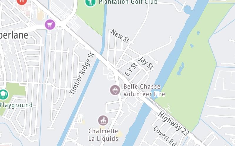
This location's approximate GPS Coordinates are 29.87546 x -90.01364.
Which directions can I travel from here?
From this junction, traffic can only enter going southbound. Traffic can only exit going northbound.
◄ Back to Toll Gantry, about 0.3 miles away.
Nearby gas and food are shown on the interactive map below.
Weather & Visibility

Clear
67°F / 19.4°C
Feels Like
68°F / 19.9°C

Visibility
12 Mi / 19.3 Km
3 Hr Precip
0 In / 0.0 Cm

-
WNW Wind
1.2 Mi / 1.9 Km
Gusts
3.1 Mi / 5 Km
See the full forecast for This Location
Conditions and forecasts provided in partnership with AccuWeather.

Weather provided in partnership with AccuWeather.
Available Cameras

3.48 Mi
3.50 Mi
3.84 Mi


 Lake Pontchartrain Causeway ▹
 Grand Parkway ▹
 Hardy Toll Road ▹
 Sam Houston Tollway ▹
 Tomball Tollway ▹
 Westpark Tollway ▹


