This Location At A Glance
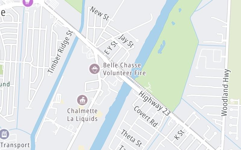
This toll point is located in Belle Chasse. NOTE: GeauxPass or license plate only.
Map image © TomTom Intl BV
This location's approximate GPS Coordinates are 29.87251 x -90.01027.
On to Engineers Road, about 0.3 miles away ►
◄ Back to Barriere Road, about 0.5 miles away.
Nearby gas and food are shown on the interactive map below.
Weather & Visibility

Clear
67°F / 19.4°C
Feels Like
68°F / 19.9°C

Visibility
12 Mi / 19.3 Km
3 Hr Precip
0 In / 0.0 Cm

-
WNW Wind
1.2 Mi / 1.9 Km
Gusts
3.1 Mi / 5 Km
Conditions and forecasts provided in partnership with AccuWeather.

Weather provided in partnership with AccuWeather.
Available Cameras
No camera feed …
There is no currently-available traffic camera feed for this location.
Advertising


 Lake Pontchartrain Causeway ▹
 Grand Parkway ▹
 Hardy Toll Road ▹
 Sam Houston Tollway ▹
 Tomball Tollway ▹
 Westpark Tollway ▹


