This Location At A Glance
This junction is located in . NOTE: Bascule section of the causeway bridge.
This location is in the New Orleans - Mississippi Gulf area.
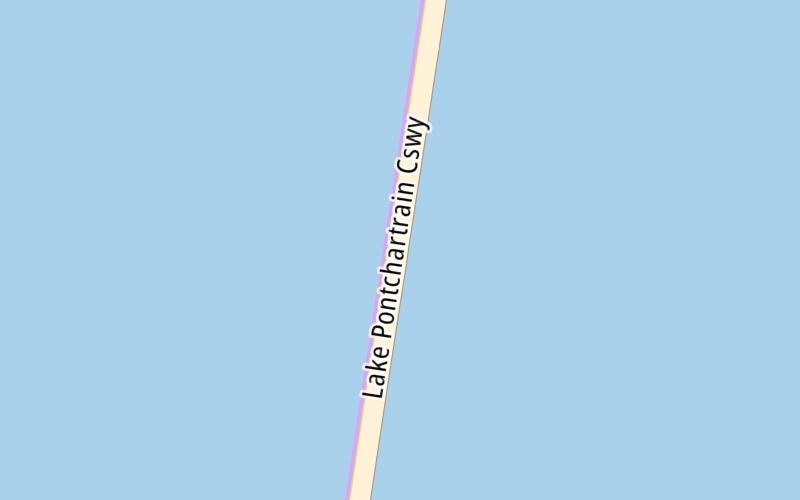
This location's approximate GPS Coordinates are 30.25018 x -90.11373.
Which directions can I travel from here?
From this junction, traffic can enter traveling both southbound and northbound. Traffic can also exit traveling both southbound and northbound.
On to Crossover 2000, about 0.4 miles away ►
◄ Back to Crossover 3000, about 0.6 miles away.
Nearby gas and food are shown on the interactive map below.
Weather & Visibility

Sunny
64°F / 17.7°C
Feels Like
69°F / 20.6°C

Visibility
11 Mi / 17.7 Km
3 Hr Precip
0 In / 0.0 Cm

-
NNE Wind
0.6 Mi / 1 Km
Gusts
2.5 Mi / 4 Km
See the full forecast for the New Orleans - Mississippi Gulf area
Conditions and forecasts provided in partnership with AccuWeather.

Weather provided in partnership with AccuWeather.
Available Cameras
No camera feed …
There is no currently-available traffic camera feed for this location.


 Lake Pontchartrain Causeway ▹
 Grand Parkway ▹
 Hardy Toll Road ▹
 Sam Houston Tollway ▹
 Tomball Tollway ▹
 Westpark Tollway ▹


