This Location At A Glance
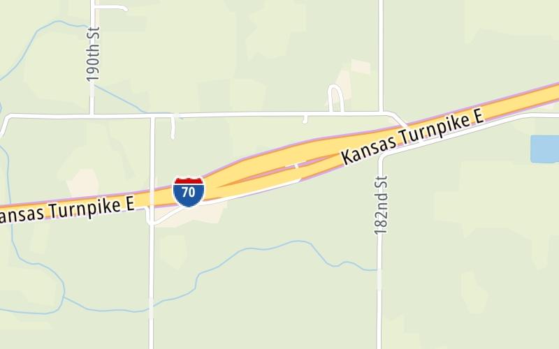
This toll point is located in Tonganoxie.
This location is in the Kansas City - Topeka area.
Map image © TomTom Intl BV
This location's approximate GPS Coordinates are 39.06990 x -95.00766.
On to K7 S/K7 N, about 6.7 miles away ►
◄ Back to Tonganoxie / Eudora, about 5.0 miles away.
Nearby gas and food are shown on the interactive map below.
Weather & Visibility

Mostly Cloudy
71°F / 21.5°C
Feels Like
71°F / 21.7°C

Visibility
10 Mi / 16.1 Km
3 Hr Precip
0 In / 0.0 Cm

-
SSE Wind
5.1 Mi / 8.2 Km
Gusts
12.4 Mi / 19.9 Km
See the full forecast for the Kansas City - Topeka area
Conditions and forecasts provided in partnership with AccuWeather.

Weather provided in partnership with AccuWeather.
Available Cameras

1.21 Mi
Advertising


 Kansas Turnpike ▹

 Cherokee Turnpike ▹
 Creek Turnpike ▹
 Muskogee Turnpike ▹
 Turner Turnpike ▹
 Will Rogers Turnpike ▹
 Gilcrease Expressway West ▹


