Share

Kansas Turnpike At Tonganoxie / Eudora

Advertising
Advertising

About This Location

Tonganoxie / Eudora
Map image © TomTom Intl BV

At A Glance

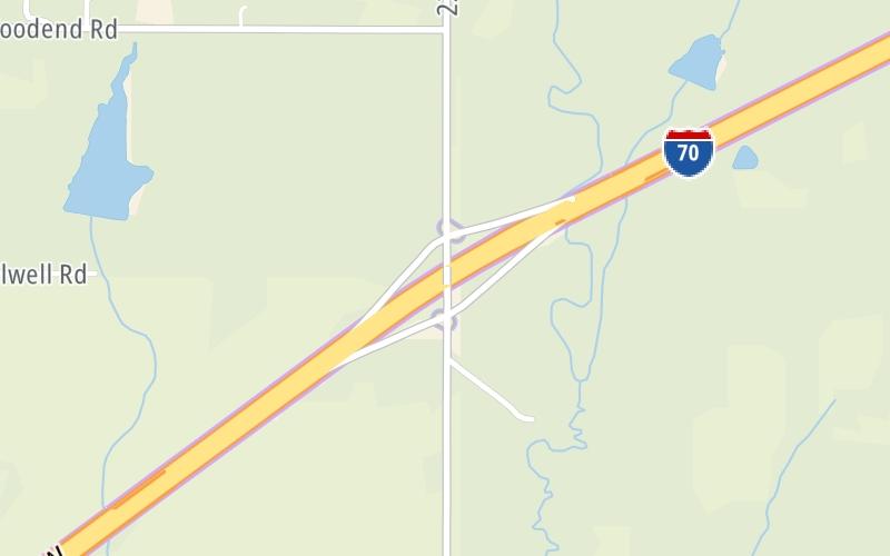
This is Exit 212 of the Kansas Turnpike.

This junction is located in Tonganoxie. Lawrence and Eudora are nearby.

This location is in the Kansas City - Topeka area.

Interactive Map Below

This location's approximate GPS Coordinates are 39.04376 x -95.09355.

Which directions can I travel from here?

From this junction, traffic can enter traveling both southbound and northbound. Traffic can also exit traveling both southbound and northbound.

On to ORT Eastern Terminal Zone Gantry, about 5.0 miles away ►

◄ Back to Tonganoxie-Eudora Zone EB Gantry, about 1.8 miles away.

Which direction are tolls charged here?

  • ▸ Southbound on ramp
  • ▸ Southbound off ramp
  • ▸ Northbound on ramp
  • ▸ Northbound off ramp

View Map Travel Conditions

Closest Food, Gas, EV And Other Services Near Tonganoxie / Eudora

Use the map below for all services within about a two (2) mile radius.

Fuel, EV and convenience store header

Gas & EV Charging

Closest Gas Stations

View Map

No gas or other fuel stations nearby.

Closest EV Chargers

View Map

No EV charging stations nearby.

Coffee, snacks and dining header

Fast Food & Beverage

Closest Fast Food

Fast food refers ONLY to quick-service and take-out diners. All restaurant types are shown on the map below.

View Map

No fast-food dining nearby.

Advertising
Advertising

Interactive POI Map

The interactive map and lists on this page include key traveler services in a two-mile radius, including gas stations, truck stops, EV charging facilities, fast-food or family restaurants, and hotels.

Current driving conditions and weather, may be found below.

Advertising
Advertising

Travel Conditions At Tonganoxie / Eudora

Current Weather And Visibility

  • 10 7 12
  • Snow

    21°F / -6.4°C

    Feels Like:

    22°F / -5.4°C

  • Visibility

    2 Mi / 2.4 Km

    3-Hour Precip:

    0.04 In / 0.1 Cm

  • East Northeast
    Winds (ENE)

    2.2 MPH / 3.5 KPH

    Gusts:

    7.2 MPH / 11.6 KPH

▸ Get the full forecast for This Location | The Kansas City - Topeka area

Available Cameras

No camera feed …

There is no currently-available traffic camera feed for this location.

Advertising
Advertising

Pictures At Tonganoxie / Eudora

No photos …

There are no currently-available photos for this location.

Advertising
Advertising

Discover Kansas Attractions

Hotels and destinations header

Hotels & Airports

Destination Travel

Advertising
Advertising

EXPLORE KANSAS

Journey to key destinations around and adjacent to Kansas!

Map Of This Region ▹

Communities in this metro area include Kansas City, Kansas City, Missouri, Topeka, Lawrence, Overland Park, Edwardsville, and Bonner Springs.

Individual toll maps for this region are listed below.

Map Of This Region ▹

Communities in this metro area include Wichita, Bel Aire, Andover, Valley Center, and Maize.

Individual toll maps for this region are listed below.

Map Of This Region ▹

Communities in this metro area include Tulsa, Broken Arrow, Muskogee, Stillwater, Sapulpa, Vinita, Joplin, Missouri, Siloam Springs, Arkansas, and San Springs.

Individual toll maps for this region are listed below.

Map Of This Region ▹

Communities in this metro area include Stillwater and Tulsa.

Individual toll maps for this region are listed below.

Static map of Kansas Turnpike at Tonganoxie / Eudora

Static map. Interactive map is above.

Advertising
Advertising
Turnpikes.com is proud to partner with the following: