Share

Kansas Turnpike At Topeka Service Area

Advertising
Advertising

About This Location

Topeka Service Area
Map image © TomTom Intl BV

At A Glance

NOTICE! Data for this plaza/rest stop is being updated.

This travel plaza is located in Lecompton. Tecumseh is nearby.

This location is in the Kansas City - Topeka area.

Interactive Map Below

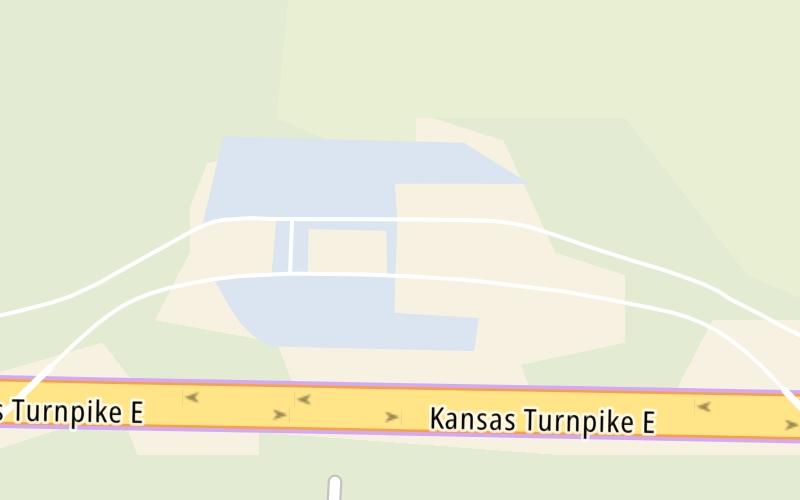
This location's approximate GPS Coordinates are 39.01953 x -95.50848.

On to Lecompton K-10/Topeka I-70 Zone EB Gantry, about 3.1 miles away ►

◄ Back to Lecompton K-10/Topeka I-70 Zone WB Gantry, about 0.6 miles away.

View Map Travel Conditions

Closest Food, Gas, EV And Other Services Near Topeka Service Area

Use the map below for all services within about a two (2) mile radius.

Fuel, EV and convenience store header

Gas & EV Charging

Closest Gas Stations

TOPEKA SERVICE AREA

• 96 feet

Store/Fuel Brand: Conoco

View Map

Closest EV Chargers

Tesla

TOPEKA, KS - TOPEKA SERVICE AREA SUPERCHARGER

8000 I-70 • 137 feet

ChargePoint

CHARGEPOINT

8000 Southeast I-70 Hwy @ KS Turnpike - Topeka East • 171 feet

View Map

Coffee, snacks and dining header

Fast Food & Beverage

Closest Fast Food

Fast food refers ONLY to quick-service and take-out diners. All restaurant types are shown on the map below.

Taco Bell

TACO BELL

• 96 feet

McDonald's

MCDONALD'S

• 181 feet

Hardee's

HARDEE'S

• 211 feet

View Map

Advertising
Advertising

Interactive POI Map

The interactive map and lists on this page include key traveler services in a two-mile radius, including gas stations, truck stops, EV charging facilities, fast-food or family restaurants, and hotels.

Current driving conditions and weather, may be found below.

Advertising
Advertising

Travel Conditions At Topeka Service Area

Current Weather And Visibility

  • 10 7 12
  • Light Snow

    23°F / -5°C

    Feels Like:

    22°F / -5.8°C

  • Visibility

    10 Mi / 16.1 Km

    3-Hour Precip:

    0.02 In / 0.1 Cm

  • East
    Winds (E)

    4.6 MPH / 7.4 KPH

    Gusts:

    5.6 MPH / 9 KPH

▸ Get the full forecast for This Location | The Kansas City - Topeka area

Available Cameras

No camera feed …

There is no currently-available traffic camera feed for this location.

Advertising
Advertising

Pictures At Topeka Service Area

No photos …

There are no currently-available photos for this location.

Advertising
Advertising

Discover Kansas Attractions

Hotels and destinations header

Hotels & Airports

Destination Travel

Advertising
Advertising

EXPLORE KANSAS

Journey to key destinations around and adjacent to Kansas!

Map Of This Region ▹

Communities in this metro area include Kansas City, Kansas City, Missouri, Topeka, Lawrence, Overland Park, Edwardsville, and Bonner Springs.

Individual toll maps for this region are listed below.

Map Of This Region ▹

Communities in this metro area include Wichita, Bel Aire, Andover, Valley Center, and Maize.

Individual toll maps for this region are listed below.

Map Of This Region ▹

Communities in this metro area include Tulsa, Broken Arrow, Muskogee, Stillwater, Sapulpa, Vinita, Joplin, Missouri, Siloam Springs, Arkansas, and San Springs.

Individual toll maps for this region are listed below.

Map Of This Region ▹

Communities in this metro area include Stillwater and Tulsa.

Individual toll maps for this region are listed below.

Static map of Kansas Turnpike at Topeka Service Area

Static map. Interactive map is above.

Advertising
Advertising
Turnpikes.com is proud to partner with the following: