Share

Kansas Turnpike At Emporia Service Area

Advertising
Advertising

About This Location

Emporia Service Area
Map image © TomTom Intl BV

At A Glance

NOTICE! Data for this plaza/rest stop is being updated.

This travel plaza is located in Emporia.

This location is in the Kansas City - Topeka area; it also overlaps with the Wichita - Mcconnel Afb area.

Interactive Map Below

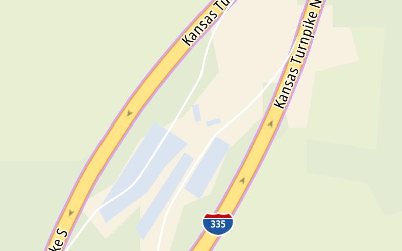
This location's approximate GPS Coordinates are 38.47151 x -96.18441.

On to Council Grove US56/EmporiaZone NB Gantry, about 14.3 miles away ►

◄ Back to Council Grove US56/EmporiaZone SB Gantry, about 0.7 miles away.

View Map Travel Conditions

Closest Food, Gas, EV And Other Services Near Emporia Service Area

Use the map below for all services within about a two (2) mile radius.

Fuel, EV and convenience store header

Gas & EV Charging

Closest Gas Stations

EMPORIA SERVICE AREA

• 53 feet

Store/Fuel Brand:

View Map

Closest EV Chargers

View Map

No EV charging stations nearby.

Coffee, snacks and dining header

Fast Food & Beverage

Closest Fast Food

Fast food refers ONLY to quick-service and take-out diners. All restaurant types are shown on the map below.

View Map

No fast-food dining nearby.

Advertising
Advertising

Interactive POI Map

The interactive map and lists on this page include key traveler services in a two-mile radius, including gas stations, truck stops, EV charging facilities, fast-food or family restaurants, and hotels.

Current driving conditions and weather, may be found below.

Advertising
Advertising

Travel Conditions At Emporia Service Area

Current Weather And Visibility

  • 05 7 12
  • Partly Cloudy

    42°F / 5.6°C

    Feels Like:

    31°F / -0.5°C

  • Visibility

    10 Mi / 16.1 Km

    3-Hour Precip:

    0 In / 0.0 Cm

  • South
    Winds (S)

    15 MPH / 24.1 KPH

    Gusts:

    21.6 MPH / 34.8 KPH

▸ Get the full forecast for This Location | The Kansas City - Topeka area

Available Cameras

No camera feed …

There is no currently-available traffic camera feed for this location.

Advertising
Advertising

Pictures At Emporia Service Area

No photos …

There are no currently-available photos for this location.

Advertising
Advertising

Discover Kansas Attractions

Hotels and destinations header

Hotels & Airports

Destination Travel

Advertising
Advertising

EXPLORE KANSAS

Journey to key destinations around and adjacent to Kansas!

Map Of This Region ▹

Communities in this metro area include Kansas City, Kansas City, Missouri, Topeka, Lawrence, Overland Park, Edwardsville, and Bonner Springs.

Individual toll maps for this region are listed below.

Map Of This Region ▹

Communities in this metro area include Wichita, Bel Aire, Andover, Valley Center, and Maize.

Individual toll maps for this region are listed below.

Map Of This Region ▹

Communities in this metro area include Tulsa, Broken Arrow, Muskogee, Stillwater, Sapulpa, Vinita, Joplin, Missouri, Siloam Springs, Arkansas, and San Springs.

Individual toll maps for this region are listed below.

Map Of This Region ▹

Communities in this metro area include Stillwater and Tulsa.

Individual toll maps for this region are listed below.

Static map of Kansas Turnpike at Emporia Service Area

Static map. Interactive map is above.

Advertising
Advertising
Turnpikes.com is proud to partner with the following: