This Location At A Glance
This travel plaza is located in Wellington. Belle Plaine is nearby.
This location is in the Wichita - Mcconnel AFB area.
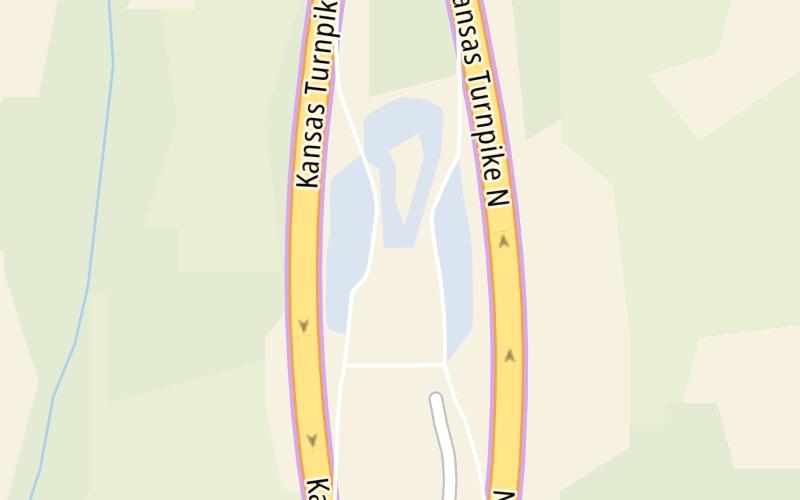
This location's approximate GPS Coordinates are 37.36657 x -97.32246.
On to Mulvane K-53 / US 160 Zone NB Gantry, about 4.5 miles away ►
◄ Back to Mulvane K-53 / US 160 Zone SB Gantry, about 4.9 miles away.
Nearby gas and food are shown on the interactive map below.
Weather & Visibility

Mostly Cloudy
50°F / 10°C
Feels Like
48°F / 8.6°C

Visibility
12 Mi / 19.3 Km
3 Hr Precip
0.03 In / 0.1 Cm

-
NNE Wind
6.1 Mi / 9.8 Km
Gusts
12.4 Mi / 20 Km
See the full forecast for This Location or the Wichita - Mcconnel AFB area
Conditions and forecasts provided in partnership with AccuWeather.

Weather provided in partnership with AccuWeather.
Available Cameras
No camera feed …
There is no currently-available traffic camera feed for this location.


 Kansas Turnpike ▹

 Cherokee Turnpike ▹
 Creek Turnpike ▹
 Muskogee Turnpike ▹
 Turner Turnpike ▹
 Will Rogers Turnpike ▹
 Gilcrease Expressway West ▹


