This Location At A Glance
This toll point is located in Wellington.
This location is in the Wichita - Mcconnel AFB area; it also overlaps with the Oklahoma State University area.
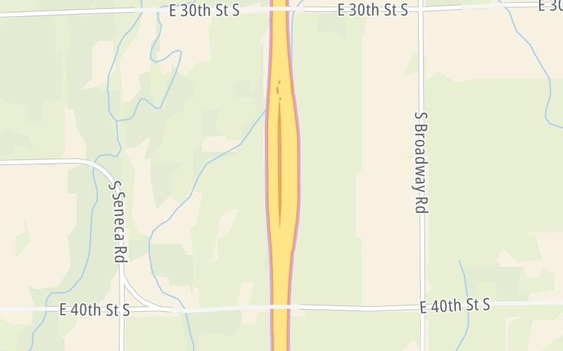
This location's approximate GPS Coordinates are 37.23865 x -97.33868.
On to US 160, about 2.6 miles away ►
◄ Back to US 166 / US 81, about 12.5 miles away.
Nearby gas and food are shown on the interactive map below.
Weather & Visibility

Sunny
62°F / 16.6°C
Feels Like
75°F / 23.9°C

Visibility
17 Mi / 27.4 Km
3 Hr Precip
0 In / 0.0 Cm

-
E Wind
2.1 Mi / 3.4 Km
Gusts
4.4 Mi / 7.1 Km
See the full forecast for the Wichita - Mcconnel AFB area
Conditions and forecasts provided in partnership with AccuWeather.

Weather provided in partnership with AccuWeather.
Available Cameras
No camera feed …
There is no currently-available traffic camera feed for this location.


 Kansas Turnpike ▹

 Cherokee Turnpike ▹
 Creek Turnpike ▹
 Muskogee Turnpike ▹
 Turner Turnpike ▹
 Will Rogers Turnpike ▹
 Gilcrease Expressway West ▹


