This Location At A Glance
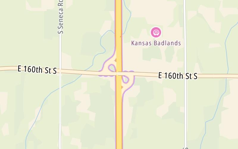
This is Exit 4 of the Kansas Turnpike.
This junction is located in Guelph Township. South Haven is nearby.
This location is in the Wichita - Mcconnel AFB area; it also overlaps with the Oklahoma State University area.
This location's approximate GPS Coordinates are 37.05704 x -97.33831.
Which directions can I travel from here?
From this junction, traffic can enter traveling both southbound and northbound. Traffic can also exit traveling both southbound and northbound.
On to ORT Southern Terminal Zone Gantry, about 12.5 miles away ►
◄ Back to Oklahoma State Line, about 4.1 miles away.
This location also connects with Oklahoma.
Nearby gas and food are shown on the interactive map below.
Weather & Visibility

Sunny
64°F / 17.5°C
Feels Like
78°F / 25.6°C

Visibility
29 Mi / 46.7 Km
3 Hr Precip
0 In / 0.0 Cm

-
E Wind
3.2 Mi / 5.1 Km
Gusts
7 Mi / 11.3 Km
See the full forecast for This Location or the Wichita - Mcconnel AFB area
Conditions and forecasts provided in partnership with AccuWeather.

Weather provided in partnership with AccuWeather.
Available Cameras
No camera feed …
There is no currently-available traffic camera feed for this location.


 Kansas Turnpike ▹

 Cherokee Turnpike ▹
 Creek Turnpike ▹
 Muskogee Turnpike ▹
 Turner Turnpike ▹
 Will Rogers Turnpike ▹
 Gilcrease Expressway West ▹


