This Location At A Glance
This toll point is located in Tonganoxie. Lawrence and Eudora are nearby.
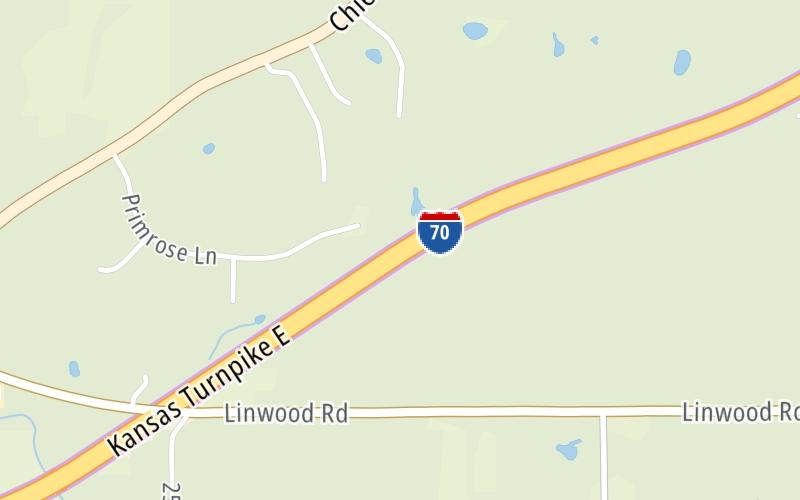
Map image © TomTom Intl BV
This location's approximate GPS Coordinates are 39.00585 x -95.16758.
On to Lawrence Service Area, about 2.0 miles away ►
◄ Back to US 40 / US 59 / to US 24, about 3.5 miles away.
Nearby gas and food are shown on the interactive map below.
Weather & Visibility

Mostly Sunny
77°F / 25°C
Feels Like
81°F / 27.2°C

Visibility
11 Mi / 17.7 Km
3 Hr Precip
0 In / 0.0 Cm

-
SSW Wind
11.7 Mi / 18.9 Km
Gusts
24.6 Mi / 39.5 Km
Conditions and forecasts provided in partnership with AccuWeather.

Weather provided in partnership with AccuWeather.
Available Cameras
No camera feed …
There is no currently-available traffic camera feed for this location.
Advertising


 Kansas Turnpike ▹

 Cherokee Turnpike ▹
 Creek Turnpike ▹
 Muskogee Turnpike ▹
 Turner Turnpike ▹
 Will Rogers Turnpike ▹
 Gilcrease Expressway West ▹


