Share

Kansas Turnpike At Emporia I-35/Cassoday K-17 Zone NB Gantry

Advertising
Advertising

This Location At A Glance

This toll point is located in Emporia.

Emporia I-35/Cassoday K-17 Zone NB Gantry
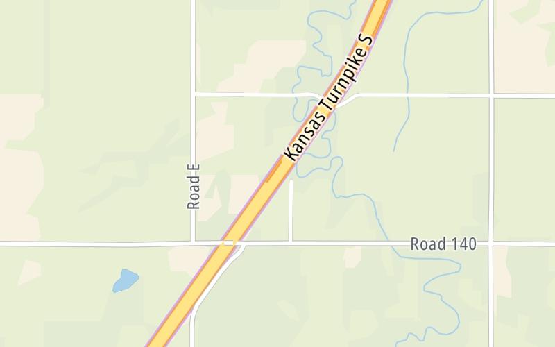
Map image © TomTom Intl BV

This location's approximate GPS Coordinates are 38.36495 x -96.27612.

Interactive Map Below


On to Begin I-335 / I-35 North / US 50, about 4.0 miles away ►

◄ Back to Matfield Green Service Area, about 25.8 miles away.

Nearby gas and food are shown on the interactive map below.

View Map

Weather & Visibility

  • 02 7 03
  • Cloudy

    33°F / 0.6°C

    Feels Like

    20°F / -6.9°C

  • Visibility

    4 Mi / 6.4 Km

    3 Hr Precip

    0.03 In / 0.1 Cm

  • ENE Wind

    13.8 Mi / 22.2 Km

    Gusts

    13.8 Mi / 22.2 Km


Available Cameras

No camera feed …

There is no currently-available traffic camera feed for this location.

Advertising

Closest Food, Gas, EV And Other Services Near Emporia I-35/Cassoday K-17 Zone NB Gantry

The map shows traffic cameras and services in about a two-mile radius. Not all locations have cameras

Advertising

Discover Kansas Attractions

Hotels and destinations header

Hotels & Airports

Destination Travel

Advertising
Advertising

EXPLORE KANSAS

Journey to key destinations around and adjacent to Kansas!

Map Of This Region ▹

Communities in this metro area include Kansas City, Kansas City, Missouri, Topeka, Lawrence, Overland Park, Edwardsville, and Bonner Springs.

Individual toll maps for this region are listed below.

Map Of This Region ▹

Communities in this metro area include Wichita, Bel Aire, Andover, Valley Center, and Maize.

Individual toll maps for this region are listed below.

Map Of This Region ▹

Communities in this metro area include Tulsa, Broken Arrow, Muskogee, Stillwater, Sapulpa, Vinita, Joplin, Missouri, Siloam Springs, Arkansas, and San Springs.

Individual toll maps for this region are listed below.

Map Of This Region ▹

Communities in this metro area include Stillwater and Tulsa.

Individual toll maps for this region are listed below.

Static map of Kansas Turnpike at Emporia I-35/Cassoday K-17 Zone NB Gantry

Static map. Interactive map is above.

Advertising
Advertising
Turnpikes.com is proud to partner with the following: