This Location At A Glance
This toll point is located in Wichita.
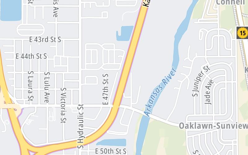
Map image © TomTom Intl BV
This location's approximate GPS Coordinates are 37.61110 x -97.30977.
On to I-135 / I-235 / 47th Street, about 0.4 miles away ►
◄ Back to Wichita I-135/I-235/Haysville Zone Gantry, about 3.7 miles away.
Nearby gas and food are shown on the interactive map below.
Weather & Visibility

Cloudy
63°F / 17°C
Feels Like
64°F / 18°C

Visibility
7 Mi / 11.3 Km
3 Hr Precip
0 In / 0.0 Cm

-
ESE Wind
4.4 Mi / 7 Km
Gusts
7.3 Mi / 11.8 Km
Conditions and forecasts provided in partnership with AccuWeather.

Weather provided in partnership with AccuWeather.
Available Cameras
No camera feed …
There is no currently-available traffic camera feed for this location.
Advertising


 Kansas Turnpike ▹

 Cherokee Turnpike ▹
 Creek Turnpike ▹
 Muskogee Turnpike ▹
 Turner Turnpike ▹
 Will Rogers Turnpike ▹
 Gilcrease Expressway West ▹


