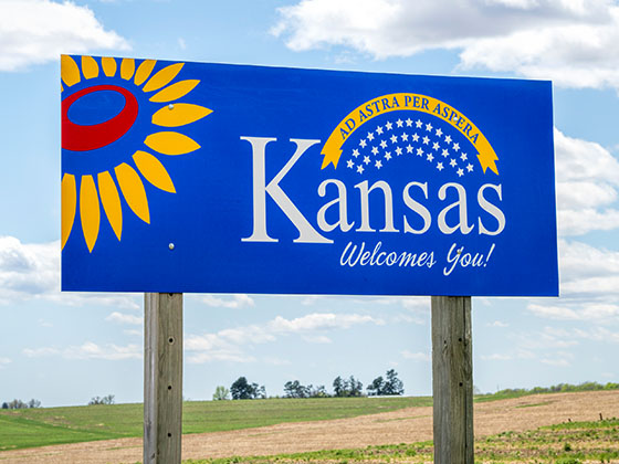
Traveling Kansas Toll Roads
The Quick Toll Road Finder
Kansas' Toll facility

Kansas Interstates
Interstates are a new feature, and most interstate maps are still under construction.
Search to find available roads, plazas, agencies, etc.
Find your way with our toll maps to guide you. View metro areas or pick a road.
Local and regional conditions and forecasts, with traffic cameras at exits.
The Quick Toll Road Finder
Interstates are a new feature, and most interstate maps are still under construction.
We have partnered with Tiqets.com to bring you these great deals on attractions and destinations!
Journey to key destinations around and adjacent to Kansas!
Communities in this metro area include Kansas City, Kansas City, Missouri, Topeka, Lawrence, Overland Park, Edwardsville, and Bonner Springs.
Individual toll maps for this region are listed below.

Communities in this metro area include Wichita, Bel Aire, Andover, Valley Center, and Maize.
Individual toll maps for this region are listed below.

Communities in this metro area include Tulsa, Broken Arrow, Muskogee, Stillwater, Sapulpa, Vinita, Joplin, Missouri, Siloam Springs, Arkansas, and San Springs.
Individual toll maps for this region are listed below.
Communities in this metro area include Stillwater and Tulsa.
Individual toll maps for this region are listed below.

 Kansas Turnpike ▹
 Cherokee Turnpike ▹
 Creek Turnpike ▹
 Muskogee Turnpike ▹
 Turner Turnpike ▹
 Will Rogers Turnpike ▹
 Gilcrease Expressway West ▹


