This Location At A Glance
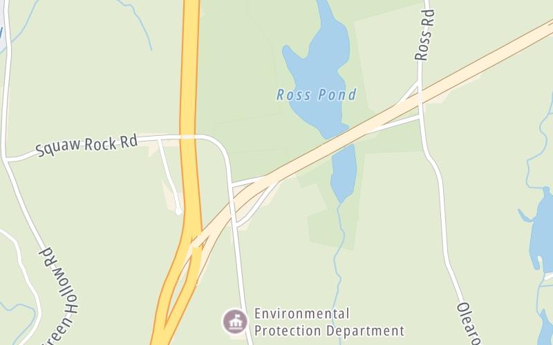
This is Exit 1 of the Connecticut Turnpike.
This junction is located in Plainfield. Killingly is nearby.
This location's approximate GPS Coordinates are 41.76826 x -71.86674.
Which directions can I travel from here?
From this junction, traffic can only enter going northbound. Traffic can only exit going southbound.
On to Ross Road, about 0.7 miles away ►
◄ Back to I–395 North, about 0.2 miles away.
This location also connects with Rhode Island.
Nearby gas and food are shown on the interactive map below.
Weather & Visibility

Mostly Cloudy
54°F / 12°C
Feels Like
66°F / 18.8°C

Visibility
20 Mi / 32.2 Km
3 Hr Precip
0 In / 0.0 Cm

-
NW Wind
4 Mi / 6.4 Km
Gusts
7.9 Mi / 12.8 Km
See the full forecast for This Location
Conditions and forecasts provided in partnership with AccuWeather.

Weather provided in partnership with AccuWeather.
Available Cameras
No camera feed …
There is no currently-available traffic camera feed for this location.


 Connecticut Turnpike ▹
 Massachusetts Turnpike ▹


