This Location At A Glance
This is Exit 19 of the Connecticut Turnpike.
This junction is located in Lisbon. NOTE: NB Off/SB On.
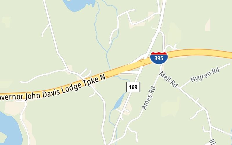
This location's approximate GPS Coordinates are 41.58803 x -72.02598.
Which directions can I travel from here?
From this junction, traffic can only enter going southbound. Traffic can only exit going northbound.
On to CT 12, about 2.4 miles away ►
◄ Back to CT 97, about 1.4 miles away.
Nearby gas and food are shown on the interactive map below.
Weather & Visibility

Partly Sunny
55°F / 13°C
Feels Like
69°F / 20.4°C

Visibility
20 Mi / 32.2 Km
3 Hr Precip
0 In / 0.0 Cm

-
NW Wind
4.5 Mi / 7.3 Km
Gusts
8.5 Mi / 13.6 Km
See the full forecast for This Location
Conditions and forecasts provided in partnership with AccuWeather.

Weather provided in partnership with AccuWeather.
Available Cameras
No camera feed …
There is no currently-available traffic camera feed for this location.


 Connecticut Turnpike ▹
 Massachusetts Turnpike ▹


