This is Exit 54 of the Connecticut Turnpike.
This junction is located in Branford.
This location is in the New Haven - Bridgeport area.
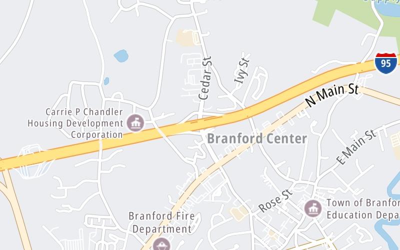
This location's approximate GPS Coordinates are 41.28826 x -72.81962.
Which directions can I travel from here?
From this junction, traffic can enter traveling both southbound and northbound. Traffic can also exit traveling both southbound and northbound.
On to US 1/East Main Street, about 2.0 miles away ►
◄ Back to Branford Southbound Service Plaza, about 0.9 miles away.
Which direction are tolls charged here?
Tolls are not charged or collected at this junction.
Use the map below for all services within about a two (2) mile radius.
Closest Gas Stations

GULF
177 Main Street • 0.73 miles
Store/Fuel Brand: Gulf

BRANFORD REST AREA GAS STATION S
• 0.74 miles
Store/Fuel Brand: Mobil

BRANFORD REST AREA GAS STATION N
• 0.74 miles
Store/Fuel Brand: Mobil
ALLTOWN
• 0.76 miles
Store/Fuel Brand:
Closest EV Chargers
Closest Fast Food
Fast food refers ONLY to quick-service and take-out diners. All restaurant types are shown on the map below.
SHORELINE CAFE & CATERING
1247 Main Street • 0.58 miles
COMMON GROUNDS
1096 Main Street • 0.59 miles
G CAFE BAKERY
1008 Main Street • 0.62 miles
WORLD CLASSICS CATERING
12 Svea Avenue • 0.65 miles
FOE FOODS & CATERING
588 Main Street • 0.70 miles
THE TASTY YOLK
Main Street • 0.74 miles

DUNKIN'
• 0.74 miles

SUBWAY
120 Commercial Parkway • 0.76 miles
The interactive map and lists on this page include key traveler services in a two-mile radius, including gas stations, truck stops, EV charging facilities, fast-food or family restaurants, and hotels.
Current driving conditions and weather, may be found below.

Mostly Sunny
44°F / 6.5°C
Feels Like:
41°F / 4.9°C
Visibility
26 Mi / 41.8 Km
3-Hour Precip:
0 In / 0.0 Cm
West
Winds (W)
9.6 MPH / 15.5 KPH
Gusts:
19.7 MPH / 31.6 KPH
▸ Get the full forecast for This Location | The New Haven - Bridgeport area
Destination Travel
Journey to key destinations around and adjacent to Connecticut!
Communities in this metro area include New Haven, Bridgeport, Darien, Greenwich, Stamford, and Port Chester, New York.
Individual toll maps for this region are listed below.
Communities in this metro area include Springfield, West Springfield, Chicopee, Westfield, and Hartford, Connecticut.
Individual toll maps for this region are listed below.