This Location At A Glance
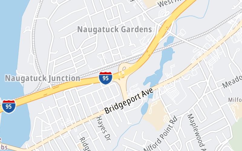
This is Exit 34 of the Connecticut Turnpike.
This junction is located in Milford.
This location is in the New Haven - Bridgeport area.
This location's approximate GPS Coordinates are 41.20789 x -73.09440.
Which directions can I travel from here?
From this junction, traffic can enter traveling both southbound and northbound. Traffic can also exit traveling both southbound and northbound.
On to School House Road / Bic Drive, about 0.5 miles away ►
◄ Back to US 1 / CT 110 / Ferry Blvd, about 1.3 miles away.
Nearby gas and food are shown on the interactive map below.
Weather & Visibility

Clear
36°F / 2.4°C
Feels Like
37°F / 2.9°C

Visibility
11 Mi / 17.7 Km
3 Hr Precip
0 In / 0.0 Cm

-
W Wind
3.2 Mi / 5.2 Km
Gusts
11.1 Mi / 17.8 Km
See the full forecast for This Location or the New Haven - Bridgeport area
Conditions and forecasts provided in partnership with AccuWeather.

Weather provided in partnership with AccuWeather.
Available Cameras

282 Ft
0.46 Mi
0.53 Mi
1.26 Mi
2.03 Mi


 Connecticut Turnpike ▹
 Massachusetts Turnpike ▹


