Share

Connecticut Turnpike At East Main Street/CT 127

Advertising
Advertising

This Location At A Glance

This is Exit 28 of the Connecticut Turnpike.

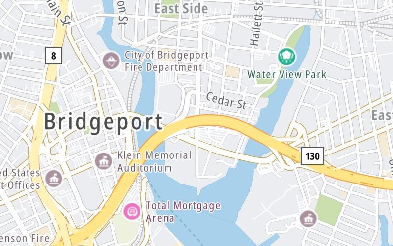
This junction is located in Bridgeport. NOTE: NB Off/SB On.

This location is in the New Haven - Bridgeport area.

East Main Street/CT 127
Map image © TomTom Intl BV

This location's approximate GPS Coordinates are 41.17902 x -73.18125.

Interactive Map Below


Which directions can I travel from here?

From this junction, traffic can only enter going southbound. Traffic can only exit going northbound.

On to CT 130/Stratford Ave / Seaview Ave, about 0.4 miles away ►

◄ Back to Lafayette Boulevard, about 0.4 miles away.

Nearby gas and food are shown on the interactive map below.

View Map

Weather & Visibility

  • 11 7 03
  • Mostly Sunny

    17°F / -8.5°C

    Feels Like

    19°F / -7°C

  • Visibility

    20 Mi / 32.2 Km

    3 Hr Precip

    0 In / 0.0 Cm

  • N Wind

    2.3 Mi / 3.7 Km

    Gusts

    8 Mi / 12.9 Km


Available Cameras

I-95 @ PEMBROKE ST

Camera direction: SOUTH. Bridgeport 06607.
Source: ConnDOT.

Camera direction: SOUTH. Bridgeport 06607.<br />Source: ConnDOT -

426 Ft

Camera direction: NORTH. Bridgeport 06604.<br />Source: ConnDOT -

0.52 Mi

Camera direction: EAST. Bridgeport 06604.<br />Source: ConnDOT -

0.79 Mi

Camera direction: NORTH. Bridgeport 06604.<br />Source: ConnDOT -

0.90 Mi

Camera direction: NORTH. Bridgeport 06605.<br />Source: ConnDOT -

1.35 Mi

Advertising

Closest Food, Gas, EV And Other Services Near East Main Street/CT 127

The map shows traffic cameras and services in about a two-mile radius. Not all locations have cameras

Advertising

Discover Connecticut Attractions

Hotels and destinations header

Hotels & Airports

Destination Travel

Advertising
Advertising

EXPLORE CONNECTICUT

Journey to key destinations around and adjacent to Connecticut!

Map Of This Region ▹

Communities in this metro area include New Haven, Bridgeport, Darien, Greenwich, Stamford, and Port Chester, New York.

Individual toll maps for this region are listed below.

Map Of This Region ▹

Communities in this metro area include Springfield, West Springfield, Chicopee, Westfield, and Hartford, Connecticut.

Individual toll maps for this region are listed below.

Static map of Connecticut Turnpike at East Main Street/CT 127

Static map. Interactive map is above.

Advertising
Advertising
Turnpikes.com is proud to partner with the following: