This Location At A Glance
This junction is located in Broomfield. Lafayette and Superior are nearby. NOTE: Connects to Interlocken Loop.
This location is in the Denver - Aurora area.
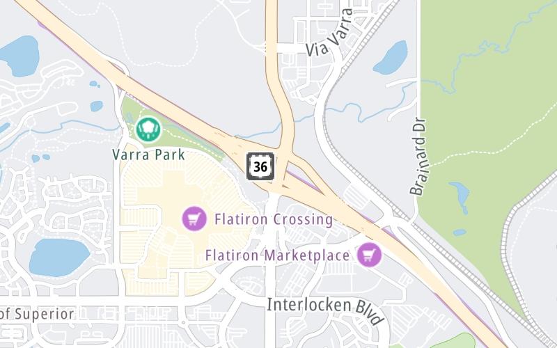
This location's approximate GPS Coordinates are 39.93484 x -105.12732.
Which directions can I travel from here?
From this junction, traffic can only enter going eastbound. Traffic can only exit going westbound.
On to Via Varra / Tape Dr, about 0.5 miles away ►
Nearby gas and food are shown on the interactive map below.
Weather & Visibility

Mostly Cloudy
73°F / 22.6°C
Feels Like
74°F / 23.1°C

Visibility
5 Mi / 8 Km
3 Hr Precip
0 In / 0.0 Cm

-
SW Wind
4 Mi / 6.5 Km
Gusts
9.2 Mi / 14.9 Km
See the full forecast for This Location or the Denver - Aurora area
Conditions and forecasts provided in partnership with AccuWeather.

Weather provided in partnership with AccuWeather.
Available Cameras

1.43 Mi
1.51 Mi


 E-470 ▹
 Northwest Parkway ▹


