This Location At A Glance
This junction is located in .
This location is in the Denver - Aurora area.
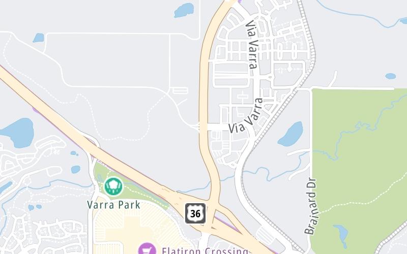
This location's approximate GPS Coordinates are 39.94080 x -105.12778.
Which directions can I travel from here?
From this junction, traffic can enter traveling both westbound and eastbound. Traffic can also exit traveling both westbound and eastbound.
On to S 96th Street / Via Varra, about 0.6 miles away ►
◄ Back to US Hwy 36, about 0.5 miles away.
Nearby gas and food are shown on the interactive map below.
Weather & Visibility

Partly Sunny
78°F / 25.4°C
Feels Like
83°F / 28.1°C

Visibility
3 Mi / 4.8 Km
3 Hr Precip
0 In / 0.0 Cm

-
WSW Wind
5.1 Mi / 8.3 Km
Gusts
11.4 Mi / 18.3 Km
See the full forecast for This Location or the Denver - Aurora area
Conditions and forecasts provided in partnership with AccuWeather.

Weather provided in partnership with AccuWeather.
Available Cameras

1.22 Mi
1.88 Mi


 E-470 ▹
 Northwest Parkway ▹


