This Location At A Glance
This junction is located in Broomfield. Lafayette and Louisville are nearby.
This location is in the Denver - Aurora area.
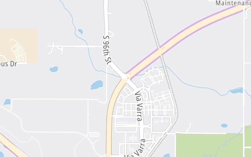
This location's approximate GPS Coordinates are 39.94901 x -105.12548.
Which directions can I travel from here?
From this junction, traffic can enter traveling both westbound and eastbound. Traffic can also exit traveling both westbound and eastbound.
On to US Hwy 287, about 2.0 miles away ►
◄ Back to Via Varra / Tape Dr, about 0.6 miles away.
Nearby gas and food are shown on the interactive map below.
Weather & Visibility

Mostly Sunny
79°F / 26°C
Feels Like
86°F / 29.8°C

Visibility
3 Mi / 4.8 Km
3 Hr Precip
0 In / 0.0 Cm

-
W Wind
6 Mi / 9.7 Km
Gusts
12.3 Mi / 19.7 Km
See the full forecast for This Location or the Denver - Aurora area
Conditions and forecasts provided in partnership with AccuWeather.

Weather provided in partnership with AccuWeather.
Available Cameras

1.27 Mi
2.35 Mi


 E-470 ▹
 Northwest Parkway ▹


