Share

E-470 At Toll Gantry C

Advertising
Advertising

This Location At A Glance

This toll point is located in . NOTE: New Zone 'C' gantry.

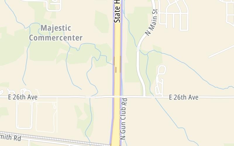
This location is in the Denver - Aurora area.

Toll Gantry C
Map image © TomTom Intl BV

This location's approximate GPS Coordinates are 39.75733 x -104.71669.

Interactive Map Below


On to Aurora Highlands Parkway, about 0.8 miles away ►

◄ Back to I-70, about 1.1 miles away.

Nearby gas and food are shown on the interactive map below.

View Map

Weather & Visibility

  • 03 7 02
  • Mostly Clear

    33°F / 0.3°C

    Feels Like

    32°F / -0.1°C

  • Visibility

    1 Mi / 2 Km

    3 Hr Precip

    0 In / 0.0 Cm

  • ENE Wind

    3.8 Mi / 6.1 Km

    Gusts

    8.1 Mi / 13 Km


Available Cameras

I-70 MP 291.10 EB : 0.1 MILES W OF POWHATON RD

Camera direction: EAST. Denver 80019.
Source: CDOT.

Camera direction: EAST. Denver 80019.<br />Source: CDOT -

2.27 Mi

Advertising

Closest Food, Gas, EV And Other Services Near Toll Gantry C

The map shows traffic cameras and services in about a two-mile radius. Not all locations have cameras

Advertising

Discover Colorado Attractions

Hotels and destinations header

Hotels & Airports

Destination Travel

Advertising
Advertising

EXPLORE COLORADO

Journey to key destinations around and adjacent to Colorado!

Map Of This Region ▹

Communities in this metro area include Denver, Aurora, Lakewood, Parker, Boulder, Broomfield, and Lafayette.

Individual toll maps for this region are listed below.

Static map of E 470 at Toll Gantry C

Static map. Interactive map is above.

Advertising
Advertising
Turnpikes.com is proud to partner with the following: