Interactive map shows available cameras, plus nearby fuel, food and lodging
See below for more about this area
This is Exit 10 of the E-470.
This junction is located in Aurora. Denver is nearby.
This location is in the Denver - Aurora area.
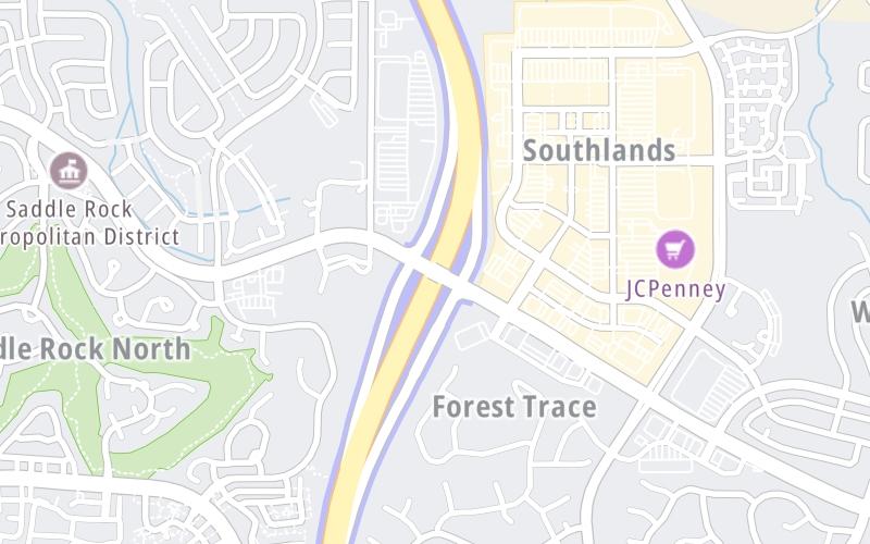
This location's approximate GPS Coordinates are 39.60118 x -104.71418.
Which directions can I travel from here?
From this junction, traffic can enter traveling both southbound and northbound. Traffic can also exit traveling both southbound and northbound.
On to E Quincy Avenue, about 2.7 miles away ►
◄ Back to Gartrell Road, about 1.7 miles away.
Which direction are tolls charged here?
The interactive map and lists on this page include key traveler services within two miles of this destination point.
You will find common services, including gas stations, truck stops, EV charging facilities, fast-food or family restaurants, and hotels. These are displayed on the interactive map as markers, which you can select for more information.
Current driving conditions and weather, along with a more complete list of key services, may be found below the map.
Static map. Interactive map is above.Mostly Clear
59°F / 14.9°C
Feels Like:
59°F / 14.9°C
Visibility
1 Mi / 2 Km
3-Hour Precip:
0 In / 0.0 Cm
Southwest
Winds (SW)
2.2 MPH / 3.6 KPH
Gusts:
4.5 MPH / 7.2 KPH
▸ Get the full forecast for This Location | The Denver - Aurora area
There is no currently-available traffic camera feed for this location.
There are no currently-available photos for this location.
The map above shows all services within about a two (2) mile radius.
Destination Travel
Closest Gas Stations
CONOCO
22998 East Smoky Hill Road • 0.43 miles
Store/Fuel Brand: Conoco
SAM'S CLUB
6201 S Aurora Pkwy • 0.58 miles
Store/Fuel Brand: Sam's Club
SHELL
1305 South Zante Way • 0.60 miles
Store/Fuel Brand: Shell
KUM & GO
5880 South Elk Way • 0.72 miles
Store/Fuel Brand: Kum & Go
Closest EV Chargers
Closest Fast Food
Fast food refers ONLY to quick-service and take-out diners. All restaurant types are shown on the map above.
CHIPOTLE
6155 South Main Street • 0.42 miles
JAMBA
6155 South Main Street • 0.44 miles
MCDONALD'S
6101 South Aurora Parkway • 0.60 miles
CHARLEYS PHILLY STEAKS
6101 South Aurora Parkway • 0.61 miles
FIREHOUSE SUBS
24300 East Smoky Hill Road • 0.62 miles
MARCO'S PIZZA
24300 East Smoky Hill Road • 0.65 miles
CHICK-FIL-A
24400 East Smoky Hill Road • 0.66 miles
DAIRY QUEEN
24300 East Smoky Hill Road • 0.67 miles
Journey to key destinations around and adjacent to Colorado!
Communities in this metro area include Denver, Aurora, Lakewood, Parker, Boulder, Broomfield, and Lafayette.
Individual toll maps for this region are listed below.