This Location At A Glance
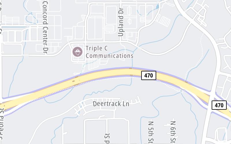
This toll point is located in Denver.
This location is in the Denver - Aurora area.
Map image © TomTom Intl BV
This location's approximate GPS Coordinates are 39.55632 x -104.82220.
On to Chambers Road, about 0.9 miles away ►
◄ Back to Peoria Street, about 1.1 miles away.
Nearby gas and food are shown on the interactive map below.
Weather & Visibility

Cloudy
45°F / 7.4°C
Feels Like
42°F / 5.3°C

Visibility
3 Mi / 4.8 Km
3 Hr Precip
0 In / 0.0 Cm

-
E Wind
6 Mi / 9.7 Km
Gusts
12.2 Mi / 19.6 Km
See the full forecast for the Denver - Aurora area
Conditions and forecasts provided in partnership with AccuWeather.

Weather provided in partnership with AccuWeather.
Available Cameras

2.59 Mi
2.94 Mi
Advertising


 E-470 ▹
 Northwest Parkway ▹


