This Location At A Glance
This junction is located in Montgomery. Wetukmpka is nearby. NOTE: Dozier Road at Eddie L Tullis Rd.
This location is in the Montgomery - South Alabama area.
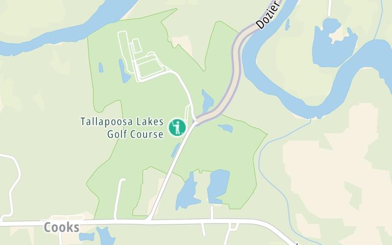
This location's approximate GPS Coordinates are 32.41921 x -86.13483.
Which directions can I travel from here?
From this junction, traffic can enter traveling both southbound and northbound. Traffic can also exit traveling both southbound and northbound.
On to Toll plaza, about 1.4 miles away ►
Nearby gas and food are shown on the interactive map below.
Weather & Visibility

Light Rain
56°F / 13.5°C
Feels Like
55°F / 12.5°C

Visibility
9 Mi / 14.5 Km
3 Hr Precip
0.12 In / 0.3 Cm

-
NNW Wind
3.5 Mi / 5.6 Km
Gusts
7.6 Mi / 12.2 Km
See the full forecast for This Location or the Montgomery - South Alabama area
Conditions and forecasts provided in partnership with AccuWeather.

Weather provided in partnership with AccuWeather.
Available Cameras
No camera feed …
There is no currently-available traffic camera feed for this location.


 Tuscaloosa By Pass ▹
 Emerald Mountain Expressway ▹
 Montgomery Expressway ▹

 Garcon Point Bridge ▹
 Bob Sikes Bridge ▹
 SR 293 ▹


