This Location At A Glance
This toll point is located in Millbrook. Montgomery is nearby. NOTE: Montgomery Expressway toll plaza and business office.
This location is in the Montgomery - South Alabama area.
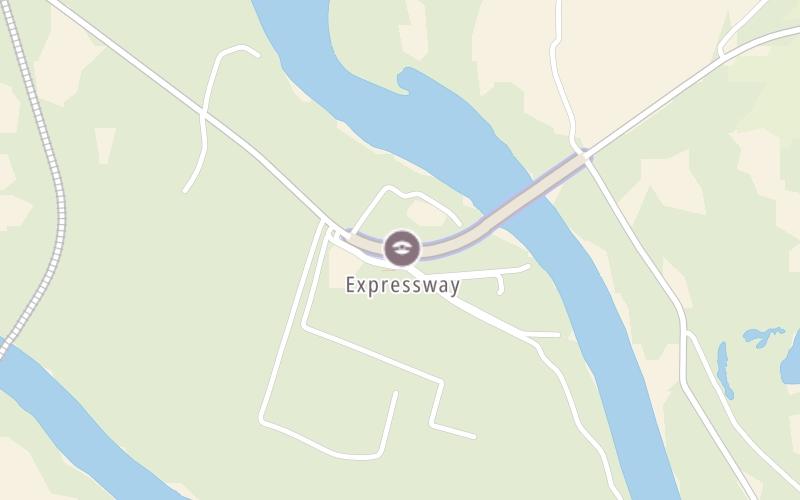
This location's approximate GPS Coordinates are 32.43415 x -86.32091.
On to Jackson Ferry Road, about 0.6 miles away ►
◄ Back to River Forest Court, about 0.1 miles away.
Nearby gas and food are shown on the interactive map below.
Weather & Visibility

Cloudy
70°F / 21°C
Feels Like
70°F / 20.9°C

Visibility
10 Mi / 16.1 Km
3 Hr Precip
0.27 In / 0.7 Cm

-
SSE Wind
3.2 Mi / 5.2 Km
Gusts
10.3 Mi / 16.5 Km
See the full forecast for the Montgomery - South Alabama area
Conditions and forecasts provided in partnership with AccuWeather.

Weather provided in partnership with AccuWeather.
Available Cameras
No camera feed …
There is no currently-available traffic camera feed for this location.


 Tuscaloosa By Pass ▹
 Emerald Mountain Expressway ▹
 Montgomery Expressway ▹

 Garcon Point Bridge ▹
 Bob Sikes Bridge ▹
 SR 293 ▹


