This Location At A Glance
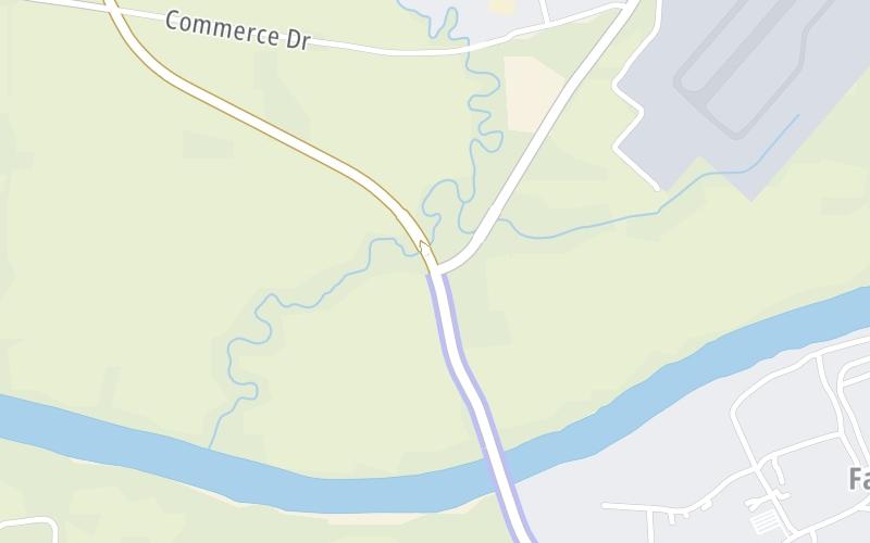
This junction is located in Tuscaloosa. NOTE: North side of bridge / Boone Blvd at Black Warrior Pkwy.
This location is in the Birmingham - Central Alabama area.
This location's approximate GPS Coordinates are 33.20472 x -87.62948.
Which directions can I travel from here?
From this junction, traffic can enter traveling both southbound and northbound. Traffic can also exit traveling both southbound and northbound.
◄ Back to Toll plaza, about 0.8 miles away.
Nearby gas and food are shown on the interactive map below.
Weather & Visibility

Mostly Cloudy
54°F / 12°C
Feels Like
57°F / 14°C

Visibility
18 Mi / 29 Km
3 Hr Precip
0 In / 0.0 Cm

-
N Wind
2.4 Mi / 3.9 Km
Gusts
8.3 Mi / 13.4 Km
See the full forecast for This Location or the Birmingham - Central Alabama area
Conditions and forecasts provided in partnership with AccuWeather.

Weather provided in partnership with AccuWeather.
Available Cameras
No camera feed …
There is no currently-available traffic camera feed for this location.


 Tuscaloosa By Pass ▹
 Emerald Mountain Expressway ▹
 Montgomery Expressway ▹

 Garcon Point Bridge ▹
 Bob Sikes Bridge ▹
 SR 293 ▹


