This Location At A Glance
This toll point is located in Tuscaloosa. NOTE: Tuscaloosa By-Pass toll plaza and business office.
This location is in the Birmingham - Central Alabama area.
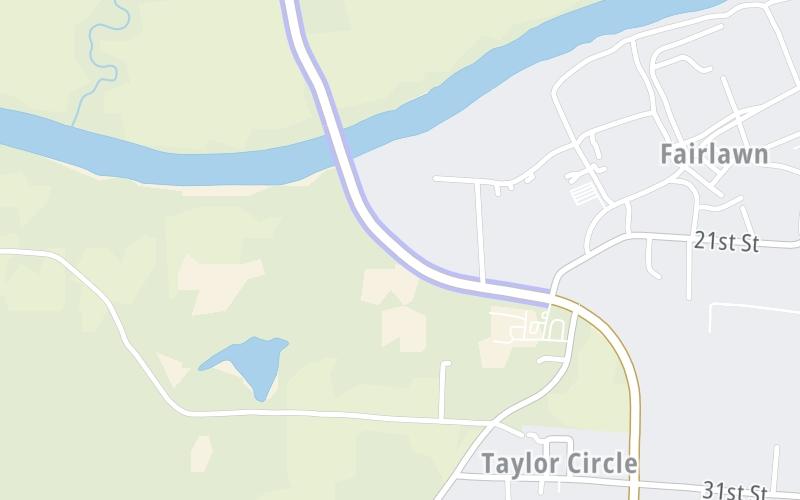
This location's approximate GPS Coordinates are 33.19441 x -87.62433.
On to Black Warrior Parkway, about 0.8 miles away ►
◄ Back to 21st Street, about 0.4 miles away.
Nearby gas and food are shown on the interactive map below.
Weather & Visibility

Mostly Cloudy
54°F / 12°C
Feels Like
56°F / 13.1°C

Visibility
14 Mi / 22.5 Km
3 Hr Precip
0.03 In / 0.1 Cm

-
N Wind
2.4 Mi / 3.9 Km
Gusts
8.6 Mi / 13.9 Km
See the full forecast for the Birmingham - Central Alabama area
Conditions and forecasts provided in partnership with AccuWeather.

Weather provided in partnership with AccuWeather.
Available Cameras
No camera feed …
There is no currently-available traffic camera feed for this location.


 Tuscaloosa By Pass ▹
 Emerald Mountain Expressway ▹
 Montgomery Expressway ▹

 Garcon Point Bridge ▹
 Bob Sikes Bridge ▹
 SR 293 ▹


